Caucasus 2020. Motorcycle Adventure. Part 2.
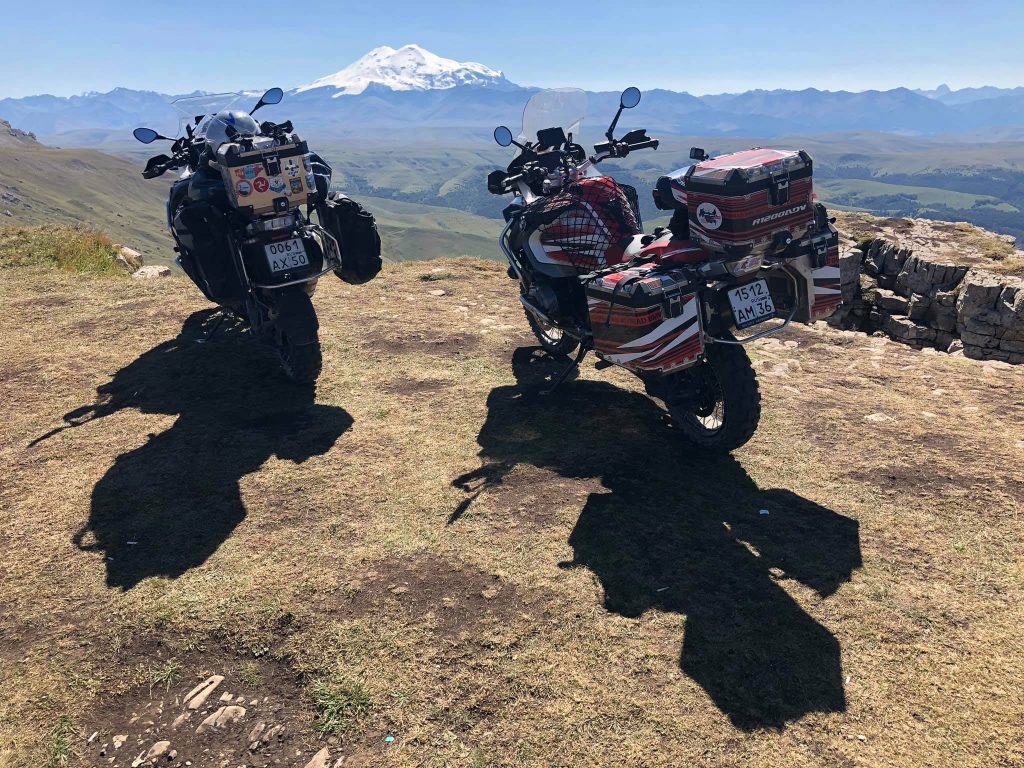
The second day in Kabardino-Balkaria turned out to be unbelievably awesome!
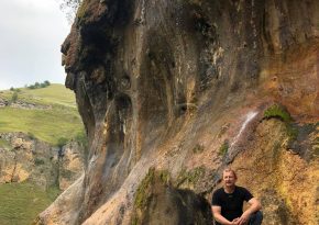
In the morning, we left Kislovodsk and decided to reach a very interesting and unique place - the Gedmyshkh waterfall. (N 43.719721, E 42.844029)
It also has two other names - Tsarsky and Seventy Streams. It truly is an unusual and beautiful waterfall! In spring or during the rainy season, it looks especially magnificent. Hundreds of streams of crystal-clear water sparkle in the sunlight as they cascade down the steep cliff into the gorge. And the cliff itself is unlike any other.
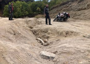
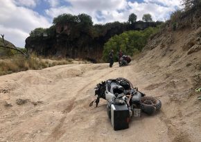
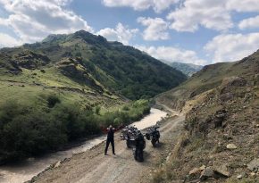
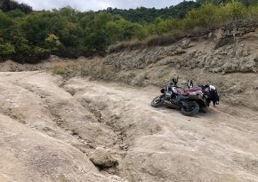
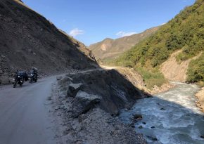
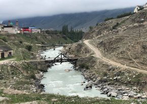
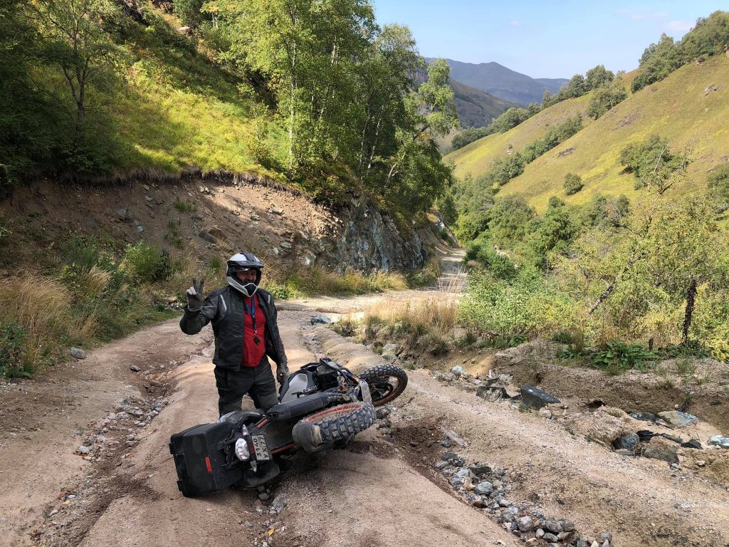
But the road to the waterfall was no less interesting. The picturesque dirt road, winding along the Malka River, eventually turned into a steep, rocky, rain-washed serpentine. Climbing this serpentine on our heavy geese (motorcycles) was quite challenging. Ruts deeper than half a meter, huge boulders, and sand on the last kilometers of the road made our journey unforgettable! ))
I would call this ascent a test of your ability to handle a heavy motorcycle in challenging conditions. So, if you manage to climb to the very top near the foot of Gedmyshkha on your own and send me a photo with your iron horse against its backdrop, I'll treat you to a bottle of Jack Daniel's! ))
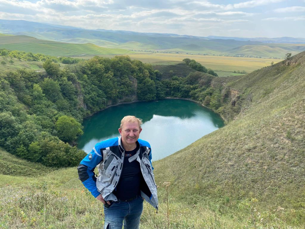
About 25 km from the waterfall, there's another interesting place - two perfectly round lakes at an altitude of about 900 m with crystal clear water. They are called Big and Small Shanghore. (N 43.708129, E 43.074279) The depth of one of them is over 80 meters.
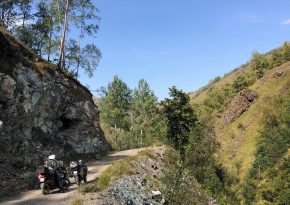
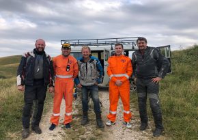
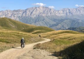
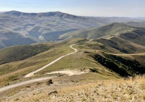
After visiting the lakes, we decided to find an old abandoned road that would lead us to the neighboring Baksan Gorge without getting back on the asphalt. And we found it! Overgrown and more like a trail, it took us to a ridge with breathtaking views, and we were almost close to reaching our destination. However, unexpectedly, people in orange overalls with radios appeared out of nowhere and stopped us.
-You can't go any further!
-Why? - I asked with an unoriginal question.
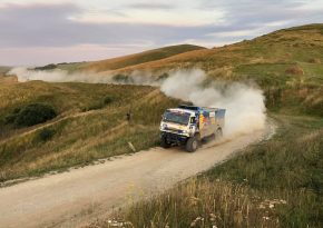
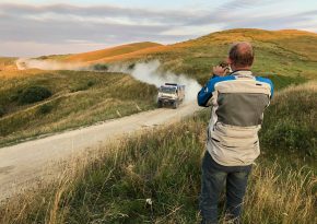
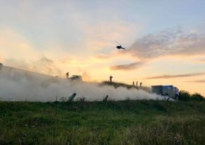
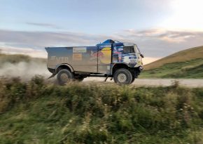
-You're heading onto a dirt road that leads to the Kanjol Plateau, and rally Kamaz trucks will be using it right now. They'll simply run you over. Do you know at what speed they'll be going? So, turn around or wait until the race is over.
At first, we were a bit disappointed, but then we thought we were just lucky! When else would you see a roaring car from the Kamaz-Master team speeding by in clouds of dust just five meters away from you!
Absolutely thrilling to watch, though!
We've only been traveling on motorcycles in Kabardino-Balkaria for four days, but there are so many impressions! The North Caucasus never stops surprising with its beauty. Snow-capped peaks of the main ridge, waterfalls, gorges, canyons, and breathtaking views – that's Kabardino-Balkaria.
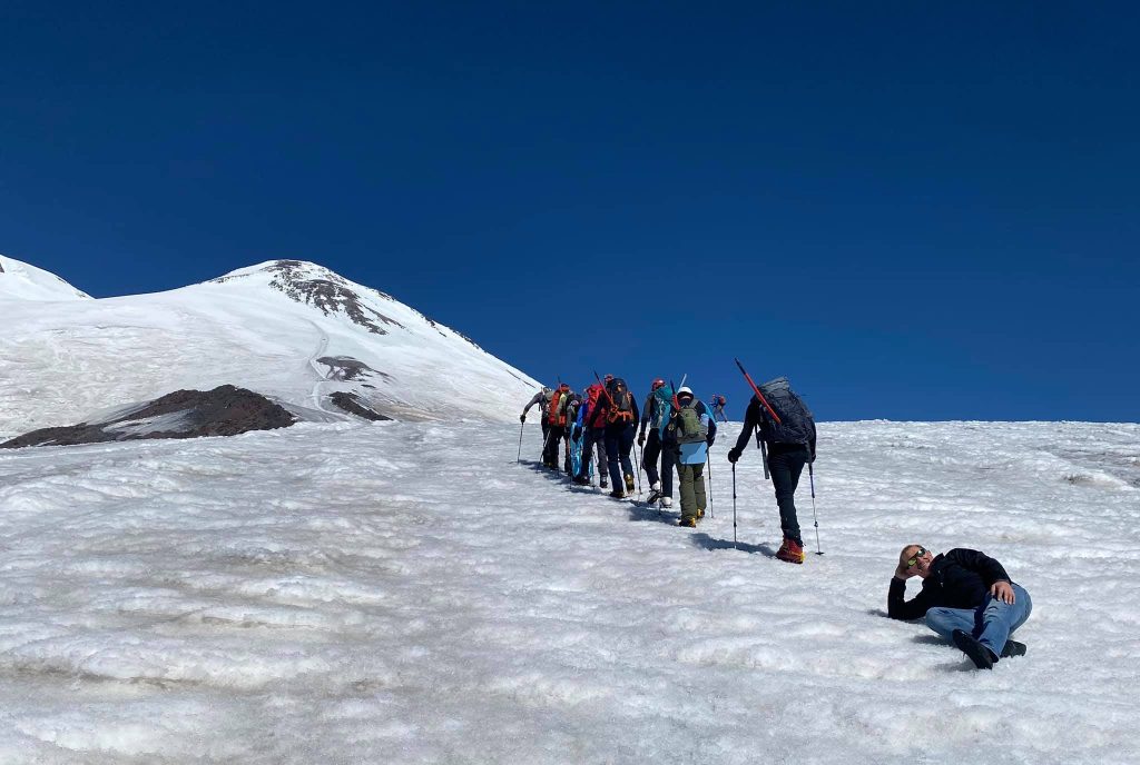
Yesterday we conquered Elbrus. Well, "conquered" might be an overstatement... We took a lift and walked another hundred meters on the snow. )) Motorcycles won't make it up here, and we're not exactly seasoned climbers either.
After lunch, we made our way through dirt roads crossing the pass from Baksan Gorge to Chegem Gorge. All the gorges in the Caucasus are named after the rivers flowing through them - Baksan, Chegem, Cherek.
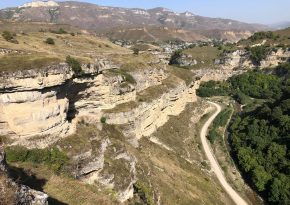
Everyone has their own main attraction. In Chegem Gorge, it's the waterfalls and huge sheer cliffs, which come close together. In Baksan Gorge, it's Elbrus, Cheget, and ski slopes. In Cherek Gorge, it's the high mountain lakes and ancient villages of Upper Balkaria.
And everywhere, there are incredible fantasy-like mountain landscapes! We cover around 200 to 300 kilometers per day. Not much, but going further doesn't make much sense because most of the time, we simply enjoy the beauty surrounding us!
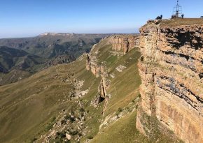
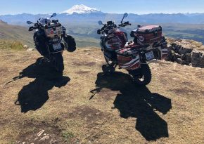
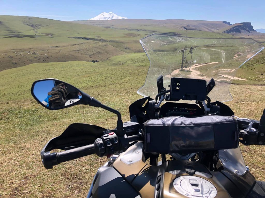
Today was probably the craziest day of our journey. In Kabardino-Balkaria, there are hundreds of interesting sights, and of course, it's impossible to visit all of them, but there are some iconic places that you must see! One of them is the Konjol Plateau, an incredibly cool place with a magnificent view of Mount Elbrus, located about a hundred kilometers from Nalchik. (N 43.592669, E 42.722211)
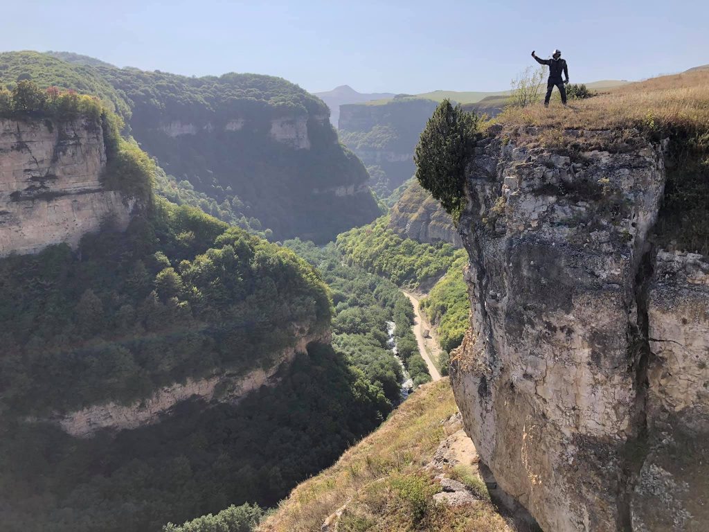
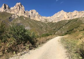
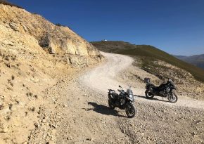
Getting there is not easy at all. From the village of Kendelen, you need to cover about fifty kilometers of incredibly beautiful but challenging dirt road with steep rocky ascents and descents, loose stones, and potholes.
But what breathtaking views open up from this plateau! The height is about 3000 meters. We were lucky with the weather. Elbrus against the sparkling blue sky in the rays of the setting sun, sheer cliffs, and mountains covered in plush greenery far below. It makes you want to sit on the edge of the cliff, dangle your legs over the abyss, and gaze into the endless distance.
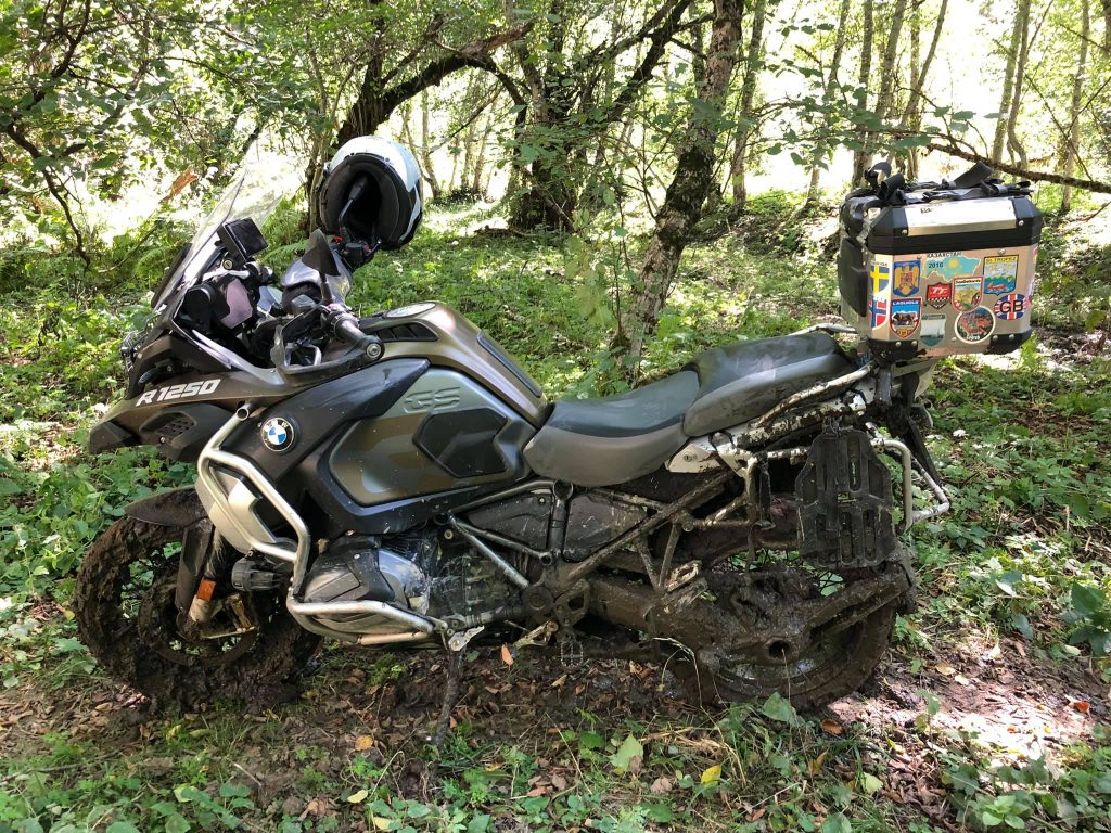
The return journey turned out to be even more impressive. We had driven five kilometers away from Konzhol when Nikolay's rear tire pressure dropped suddenly. There was a huge hole, and we couldn't repair it. No signal, no people around. The nearest village, Kendelen, was about 40 kilometers away. And those were very challenging 40 kilometers, plus the sun had set behind the peaks, and at night, the temperature in the mountains drops to zero. We had few options. We decided to ride on the flat tire as long as it held up. Speed was 15-20 km/h. It was cold, dark, monotonous, and felt like a never-ending journey. But we made it!
We left the motorcycle in the village, parked it in the yard of the first local we met. Then we removed the wheel and made our way to Nalchik late at night.
The adventures continue!
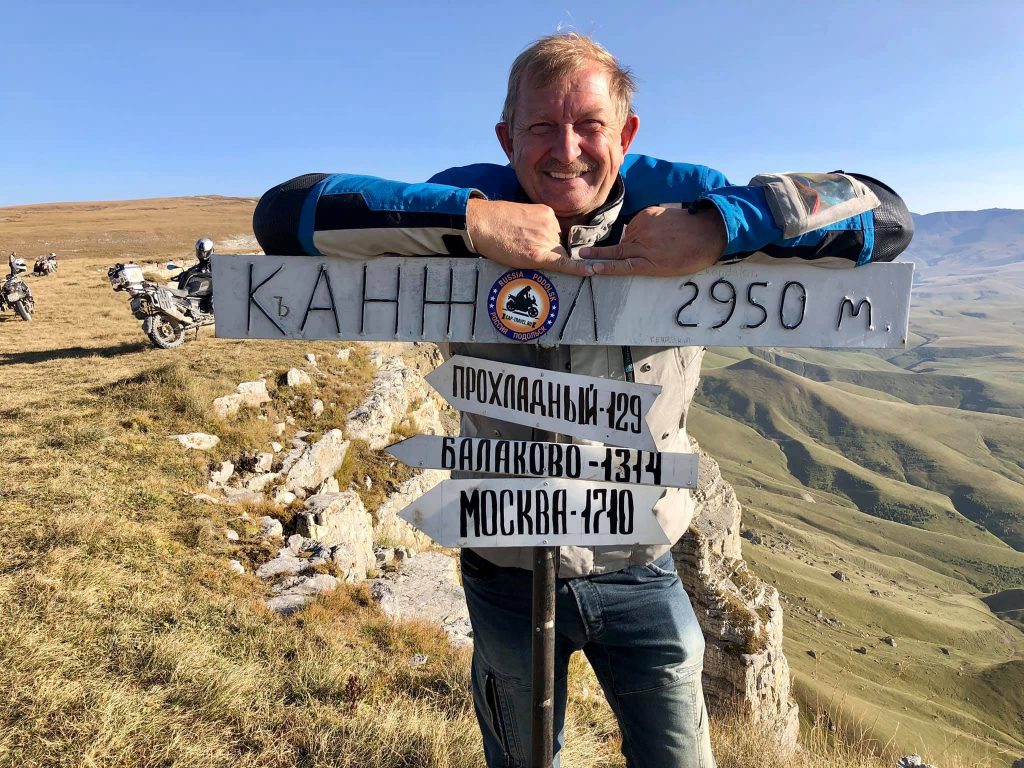
Our adventures in Kabardino-Balkaria are coming to an end. This morning, my friends headed back home, but I decided to explore one last gorge - Cherek Gorge.
I must say, it's one of the most beautiful gorges in this part of the Caucasus. Here, at an altitude of 809 meters above sea level, you can find a unique natural wonder - the high-mountain Blue Lake. (N 43.2338, E 43.539034)
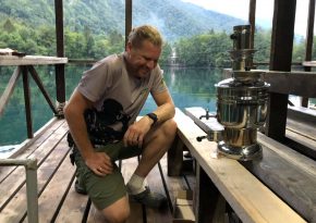
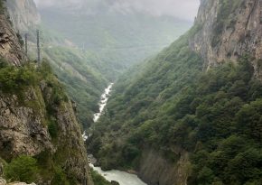
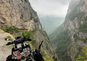
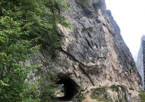
With a small water surface area (a couple of football fields), its depth reaches 272 meters! Imagine such a well where you can immerse the Eiffel Tower, and only its top will stick out a bit.)) This place is a mecca for technical and recreational divers, and I happened to meet one of them here. Sergey Baykov, my friend, a teacher, and just an adventurous dive instructor, this time has come up with something incredible again. But he will tell you about it himself.)) Meanwhile, I'm heading up the gorge. The Cherek Gorge is an absolutely stunning place! Before the long tunnel carved into the rock, there's a spring with drinking water. (N 43.192638, E 43.518786) And further, on a motorcycle, you can take the narrow old road to the right, right along the edge of a 500-meter deep cliff! If you're in a car, leave it before the tunnel and walk on foot, you won't regret it, the views are breathtaking!
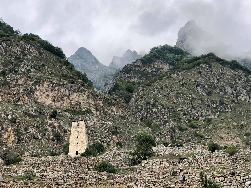
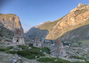
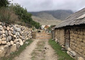
Further, the road goes steeply uphill to the village of Verkhnyaya Balkariya. At the upper part, there's an old, abandoned village with stone houses, narrow streets, and a watchtower. (N 43.106191, E 43.430351) Climbing up the stones, I read inscriptions about the tragic history of this village and the entire Balkar people.
This place is popular, and right on the banks of the Cherek River, several hotels, decent cafes, and restaurants are situated.
I continue driving, and after a couple of kilometers, I stop at a barrier. It's a border checkpoint. They check my documents, register me, and I continue my journey on a gravel road. About 20 kilometers after the border checkpoint, right by the road, there are several mineral springs. I take a drink and fill up a bottle to take with me. (N 42.974037, E 43.334237).
Just 1.5 kilometers further, on the right side of the road, there's a guesthouse and a café. (N 42.966429, E 43.330742) It's a wonderful place to relax. There's a waterfall, a lake with trout, benches, and a barbecue area. This is the last spot with civilization; beyond this point, the road becomes steeper and rockier until it eventually transforms into a trail leading up the steep slope of the mountain. The altitude reaches over 2000 meters, and the snowy peaks of the main Caucasian ridge come into view. I hop over rocks, go around boulders, cross streams, and the rushing mountain river Karasu, finally reaching a very beautiful plateau. (N 42.950799, E 43.366946)
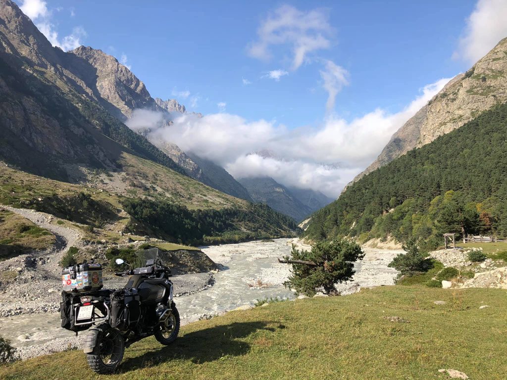
That's it. Beyond this point, there are swamps and a huge puddle, which can only be bypassed using a narrow path winding along a steep slope. But there's no point in going further. Before me, there are massive sharp-pointed cliffs and glaciers, and just a few kilometers away lies Georgia, specifically Svaneti and the highland village of Ushguli. There used to be a trail leading there, but now it's a different country, and unfortunately, there's no road. However, this place is stunning! Silence and tranquility. No one around, just horses and cows grazing on juicy grass. It's absolutely beautiful!
comments powered by HyperComments Cap-travel.ru