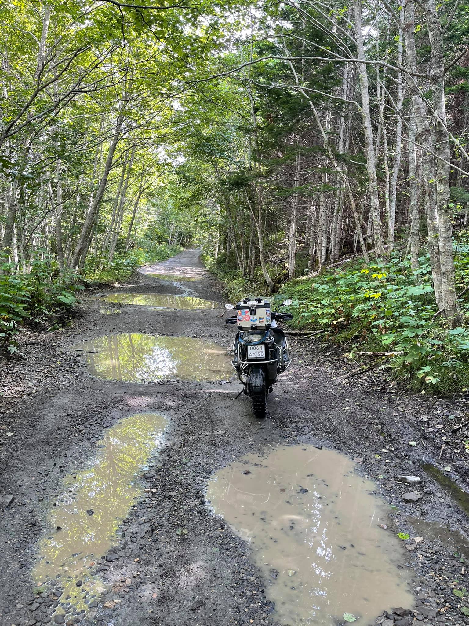
A Motorbike journey to the Edge of the World, part 1. Khabarovsk, Sakhalin
Russian Far East, Sakhalin and The Kurile Islands
Two years ago our trip to the Russian Far East was interrupted in the most unexpected and unpleasant way. When we were 120 km from the port of Vanino (we were in a hurry to catch a ferry to Sakhalin) an old Mazda took me off the highway. As a result, I've got a fracture of the collarbone and two ribs, experienced a long evacuation from the middle of nowhere to civilization, was operated on in Irkutsk… That's a long story.
On the 16th of August in 2019 my trip to the Far East was over on the Lidoga-Vanino highway. The ferry to Sakhalin left without us.
Although we did not get to the island, we kept the idea of a motorbike trip by heavy motorcycles across this unique place.
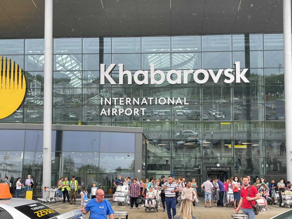
The airport in Khabarovsk is new and modern.
And here we are again in Khabarovsk. Our motorbikeys were delivered here by the same transport company, equipped with everything necessary. 540 kilometers of the broken Khabarovsk-Lidoga-Vanino highway are ahead again, and then…
I will not make a guess, but I hope that this time the journey to the edge of the Earth will be more successful.
Well, let's go!
The Amur Embankment stretches for several kilometers. That's a perfect place for walking.
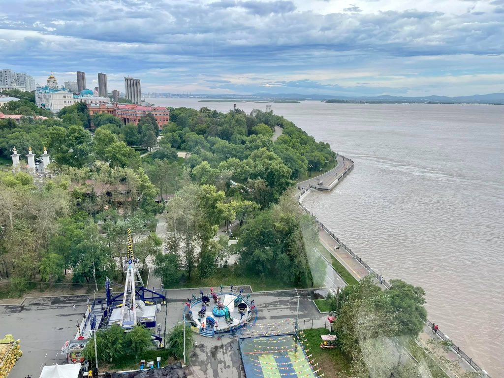
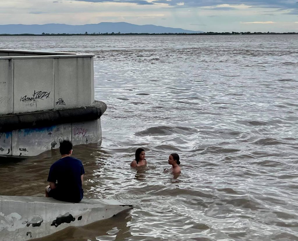
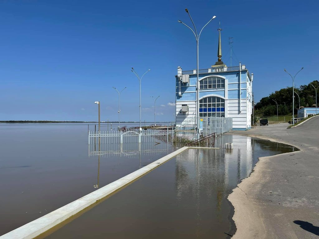
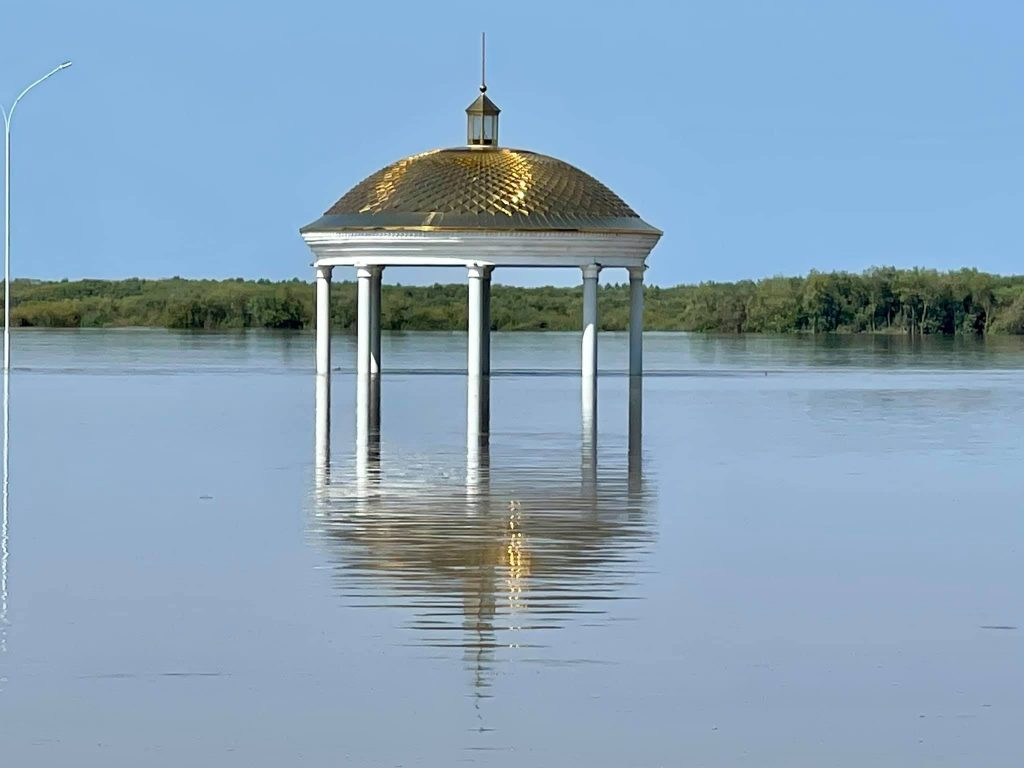
The water level in the Amur has risen on 6 metres!!! But local teenagers are not afraid of this at all.
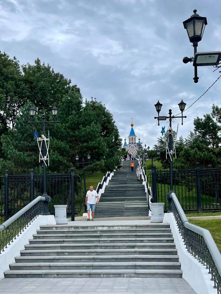
Stairs to the temple.
Russian Far East, Sakhalin and The Kurile Islands
There are two ways you may get to Sakhalin: by air and by sea. The island is separated from the mainland by only a 7.5 km distance in the narrowest part of the Nevelsky Strait. In this place the construction of an underwater railway tunnel was started last century, but in 1953 as soon as Stalin died, all the work was stopped.
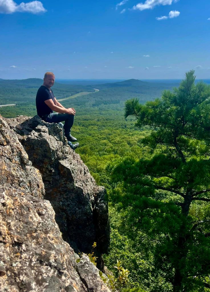
Sopka Zmeinaya, 25 km from Khabarovsk.
In the 90s, the project was resumed, but the work never began. In recent years there have been talks about the constructing of a railway and automobile bridge across the strait, which is extremely necessary for the development of the region.
Another 50 sm of water rise and the building of the river station would be flooded.
A path with lighting leads to this pavilion. Now there is no other way to reach it except for swimming.
The ferry consists of three vessels of the 1970s project and has long been outdated, therefore cannot cope with the traffic. That's why tickets should be booked 2 or 3 months in advance.
What's more, ferries do not go stably. They depend a lot on the weather conditions, one the loading, etc.
So if you plan to visit Sakhalin, it will be easier to go there by plane rather than making yourself a challenge like we did. :)
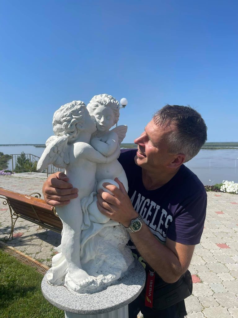
A wonderful place to have some rest is the Riviera Park, 20 km from Khabarovsk, on the bank of the Amur. (48.354589, 134.984947)
Vanino
"I remember that Vanino port..." (c)
The Road of Death. That's how the locals called the section on the highway from the village Lidoga to the village Vanino two years ago.
The port of Vanino and the port of Sovetskaya Gavan (Soviet Harbour) are located nearby, 10 km from each other. Baikal–Amur Mainline ends here.
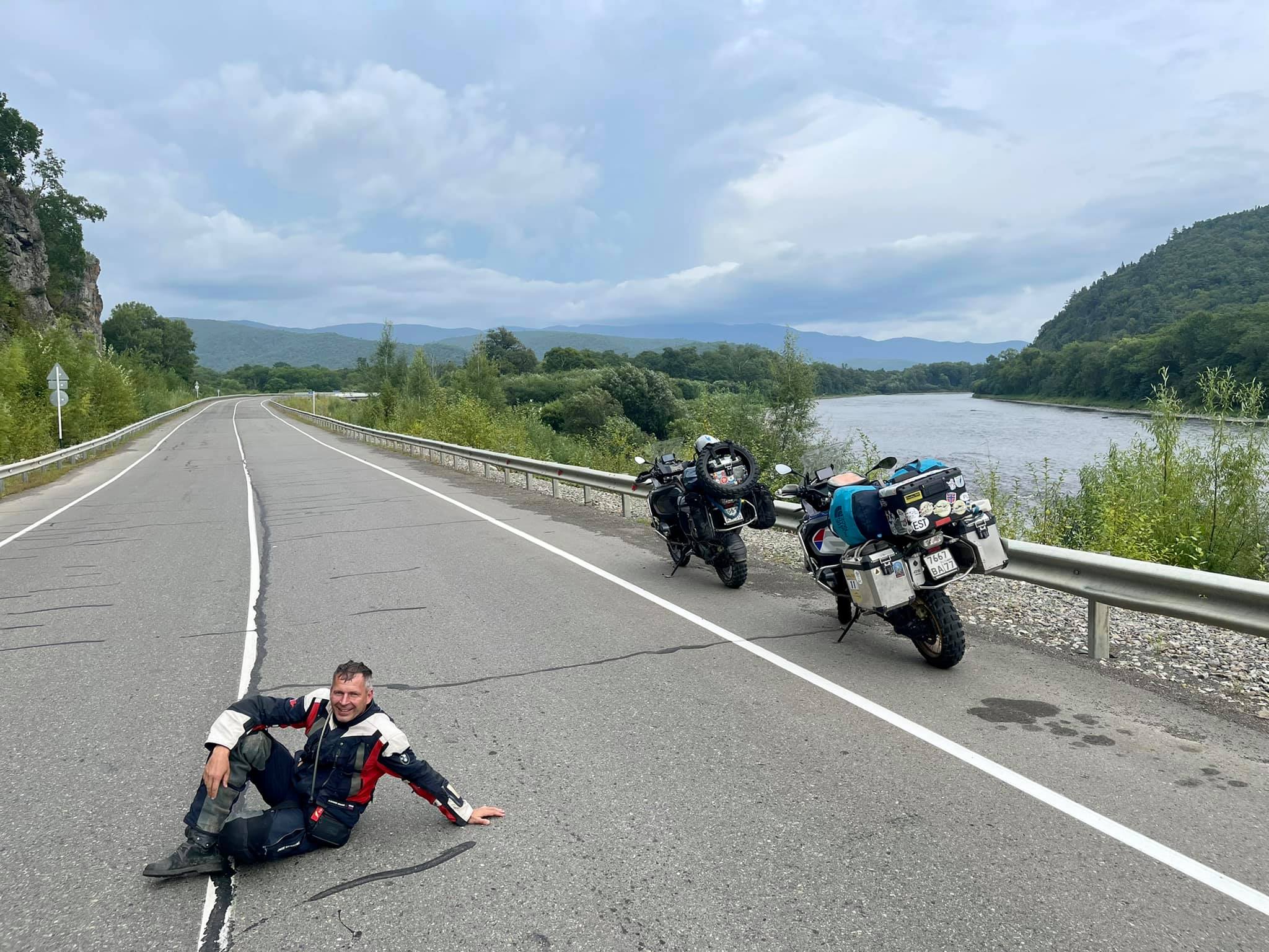
Today 330 km of a bad asphalt road with huge pits, cracks and a floated pavement have turned into quite a decent highway. I enjoyed riding the motorbike there.
The only drawback is that during these 330 km there is not a single petrol station, nothing at all. Taiga, rocks, the river and the highway going up and down around the hills. The only sign of "civilization" is a small canteen exactly in the middle of this path.
(49.305521, 138.52921)
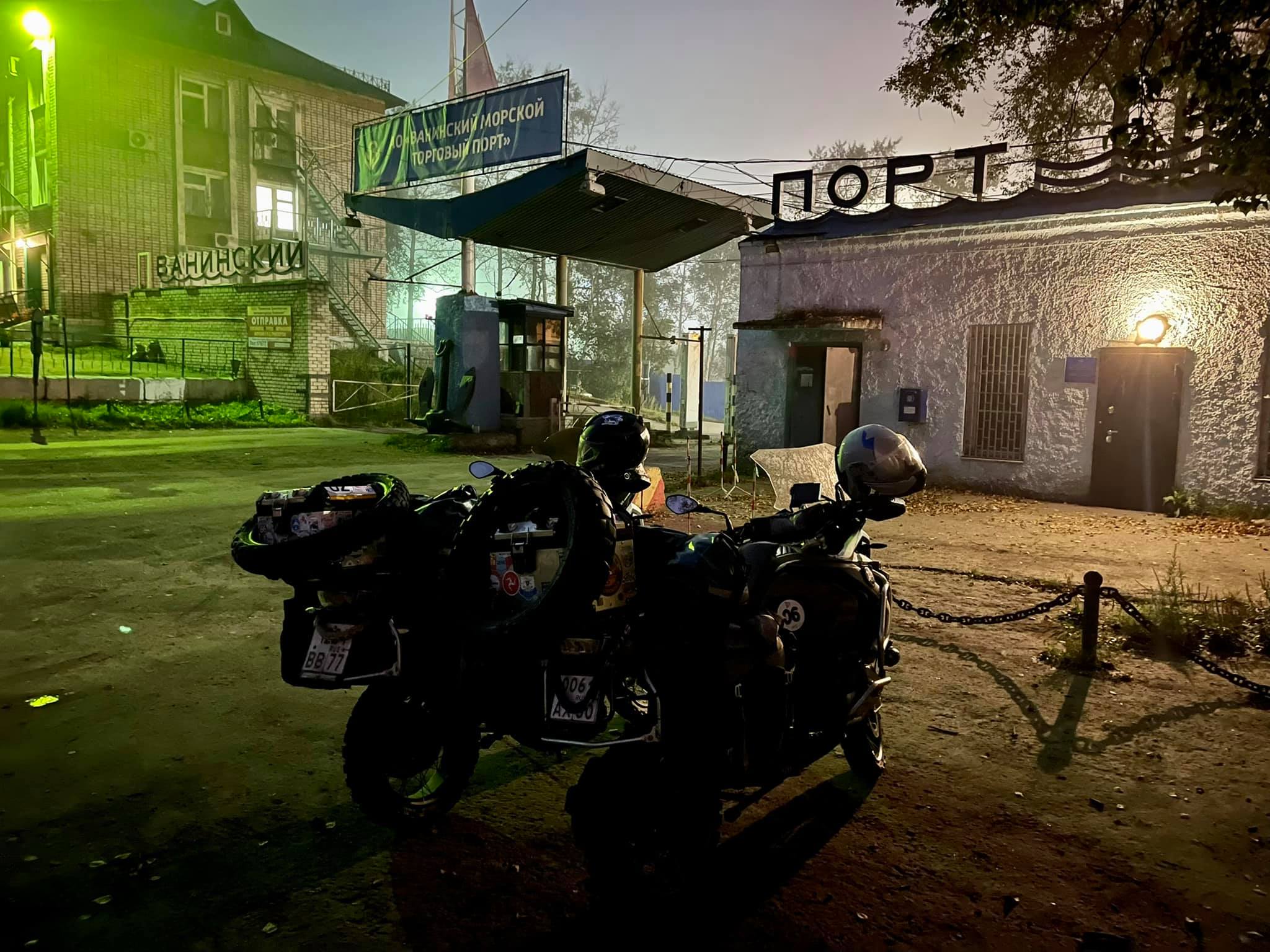
We arrived in Vanino half an hour before the sun set behind the sloping plush hill. And before it we got into a heavy downpour, it's good that we saw a huge black cloud with lightnings in the sky in advance and managed to put on the raincoats.
Vanino greeted us with a sight of an endless cargo port with dozens of thundering cranes and excavators, mountains of coal and roundwood stored on berths and platforms.
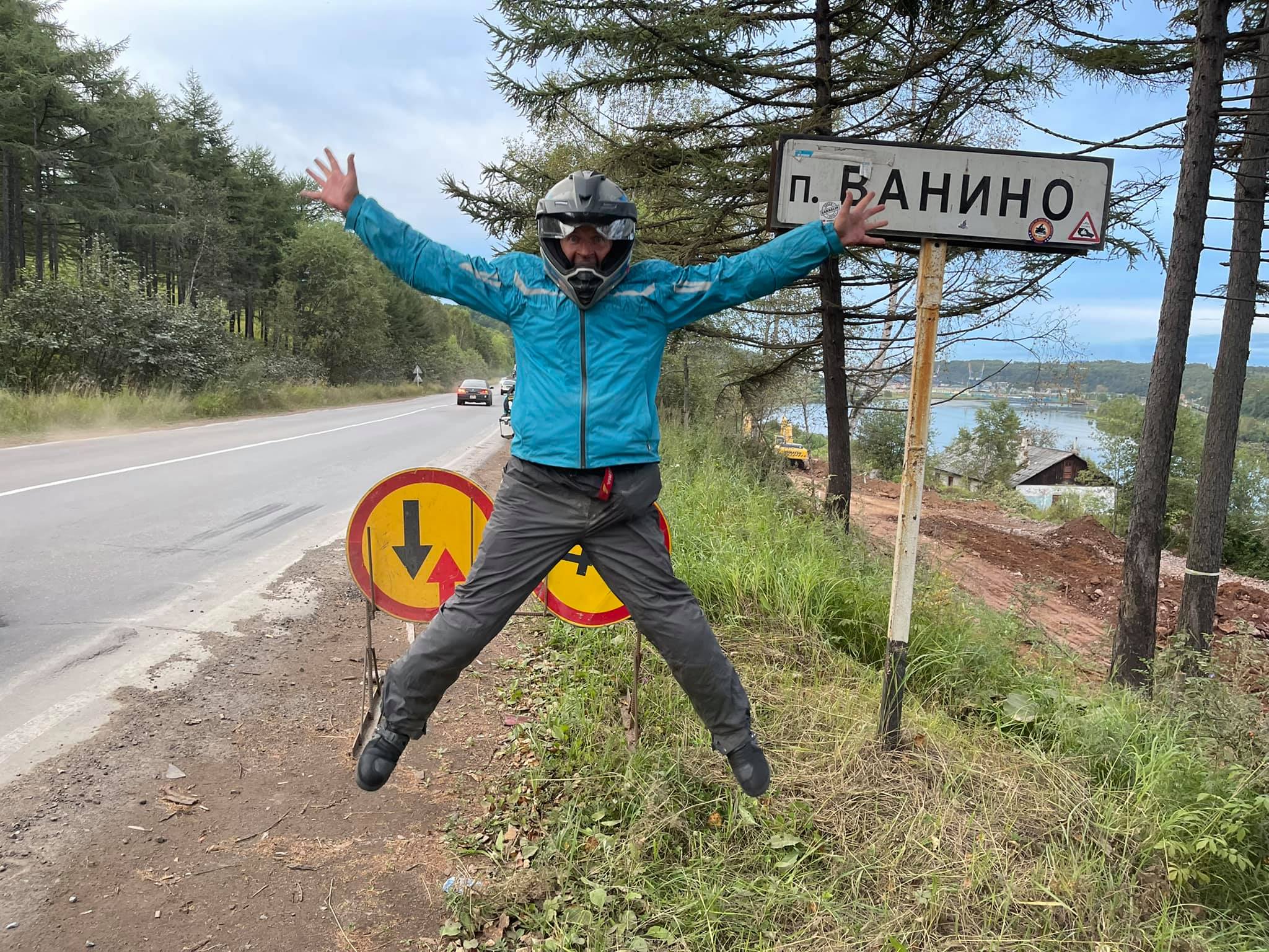
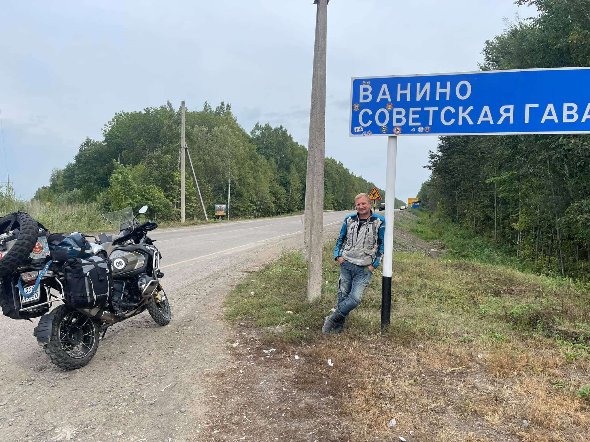
We stopped at the Vanino signboard, took a traditional photo and called the port control room to inform them about our arrival. As I previously wrote, getting on the Vanino-Kholmsk ferry is a challenge.
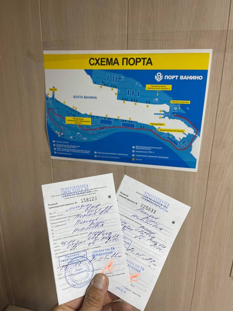
Not only do you need to buy tickets a couple of months before (if you're lucky enough to have a chance). It is also necessary to confirm your arrival by phone at least three times: first in Khabarovsk, then make a call from Lidoga village and make the third one after arrival in Vanino.
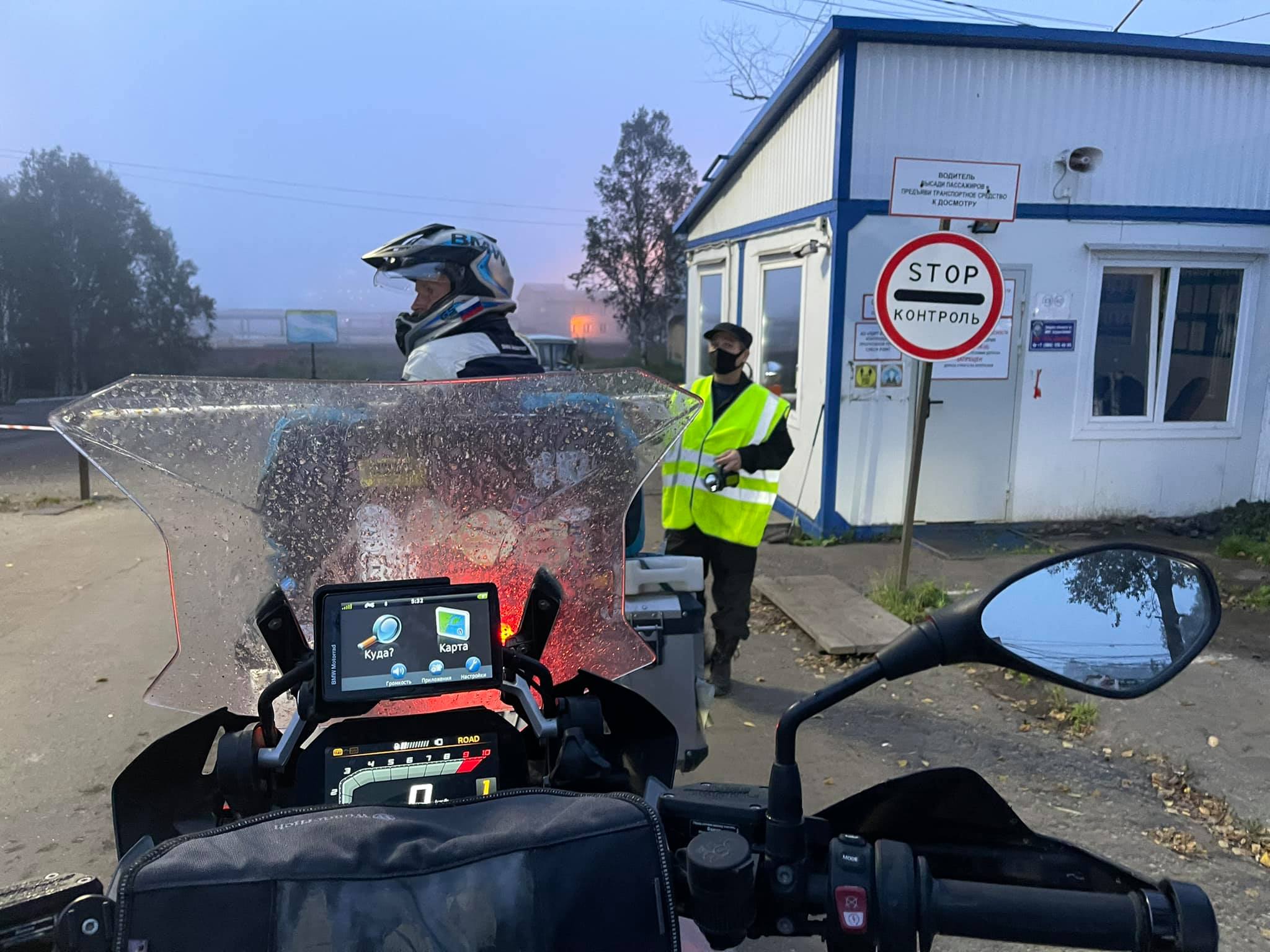
Then, five hours before the expected departure of the ferry it is necessary to arrive at the port and wait for your turn to board together with several dozen trucks and cars.
P.S. The dispatcher has just called and said that boarding on the ferry is postponed from 12 p.m. to 5 a.m. That means the departure has been delayed for more than a day. Let's wait.
Port of Vanino → Sakhalin
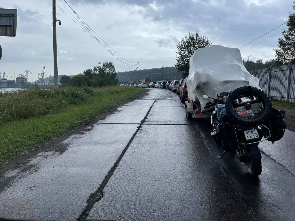
The boarding queue is moving slowly. I have to stand in the rain.
The Vanino port dispatcher announced the start of boarding the ferry over the speakerphone. From the moment of arrival at the port by the appointed time (5 a.m.) exactly half of the day had passed, which we had been spending in a small waiting room with a TV, toilet and kitchen. In total, the departure delay was more than 30 hours and this is a common phenomenon. Trucks were the first to be loaded, then passenger cars and our motorbikes.
The Sakhalin-8 ferry is rather a large vessel, 127 m long and 15 m high, the project of the 70s can carry up to 25 railway wagons or 37 heavy trucks.
All of this is placed in a huge gloomy bilge, which is not so easy to enter by motorbike on the wet rails.
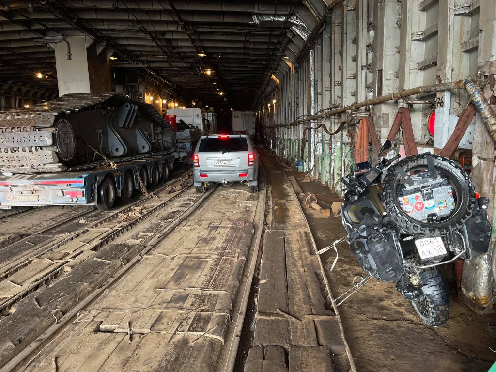
The bilge looks like a huge Dragon's cave.
Having placed my motorbikey at the wall, I took out food and all the necessary things, then tied it to the rails and some kind of an iron pipe. No one was interested in how and what I did it with. Then, coming out of the cargo bilge onto the pier, I began to wait for the boarding along with the rest of the hundred lucky passengers. 15 or 20 minutes later the iron ladder was lowered and people slowly began to climb on the board.
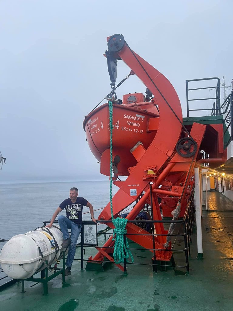
Took the place next to the rescue equipment. Just in case of emergency.
It should be mentioned that the ferry was pretty tidy.
At the entrance, two members of the crew checked our luggage (whether there was no alcohol) asking us to open the bags. There hadn't been such rules before and drunk fights used to happen on the board. Truckers seem to be quick-tempered people.
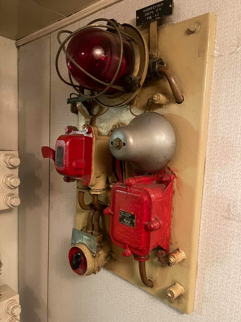
The modern electronic interior of the vessel.
We were placed on the lower deck. Going the narrow downstairs to the "underworld", we found our double cabin, located below the waterline.
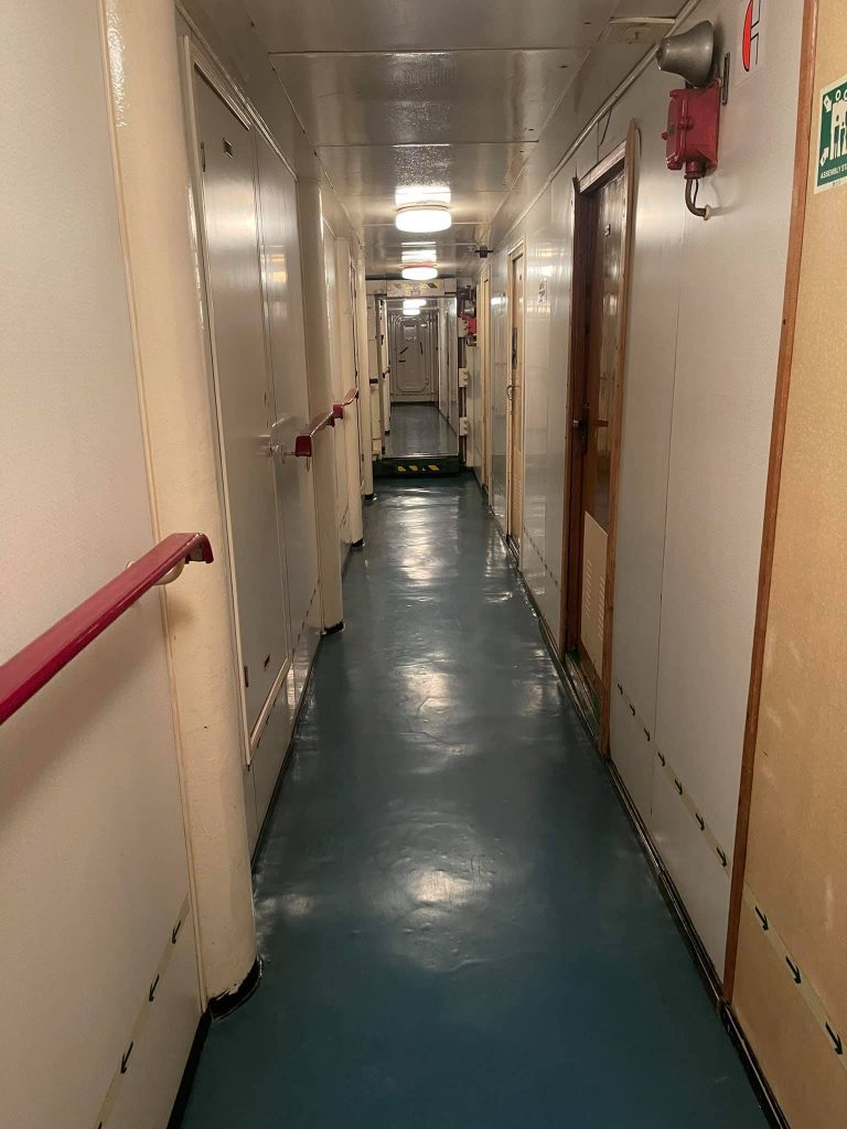
Well, everything is quite ascetic, nothing superfluous. There are just two beds with cotton mattresses and the blankets like in the army, a table, a chair, a closet and a sink. It's stuffy here, apparently, there are problems with ventilation. There is only one toilet on the entire deck. The shower doesn't work.
The meal is included in the ferry price. And it consists of one Dosirac portion, a tea bag, a disposable cup and a napkin. But on the upper deck there is a small canteen with a simple set of dishes from porridge, sausages and scrambled eggs to a cup of tea with Snickers.
Well, it's quite possible to live here till tomorrow day, while the iron vessel will slowly go to Sakhalin at a speed of 14.5 km per hour.
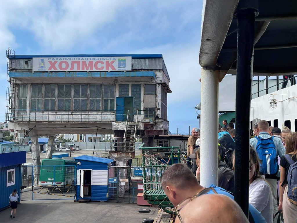
Hoorah! Hello, Sakhalin!
Nevelsk
"What can I tell about Sakhalin?
The weather in the island is alright" ... (c)
And the weather that Saturday afternoon in Sakhalin was really gorgeous! It was 26°C above zero and the sun was shining brightly.
By 1 p.m. the Sakhalin-8 ferry docked in the port of Kholmsk. A few minutes later we finally left our comfortable liner and were a little more charged for driving across the port territory (a 150 m distance cost 1400 roubles). Then after checking the passes the guard opened the gate.
Well, hello, Sakhalin!!!
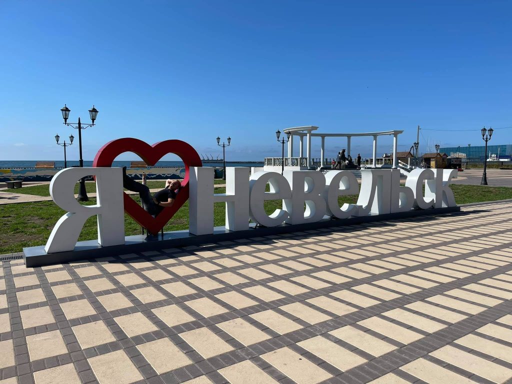
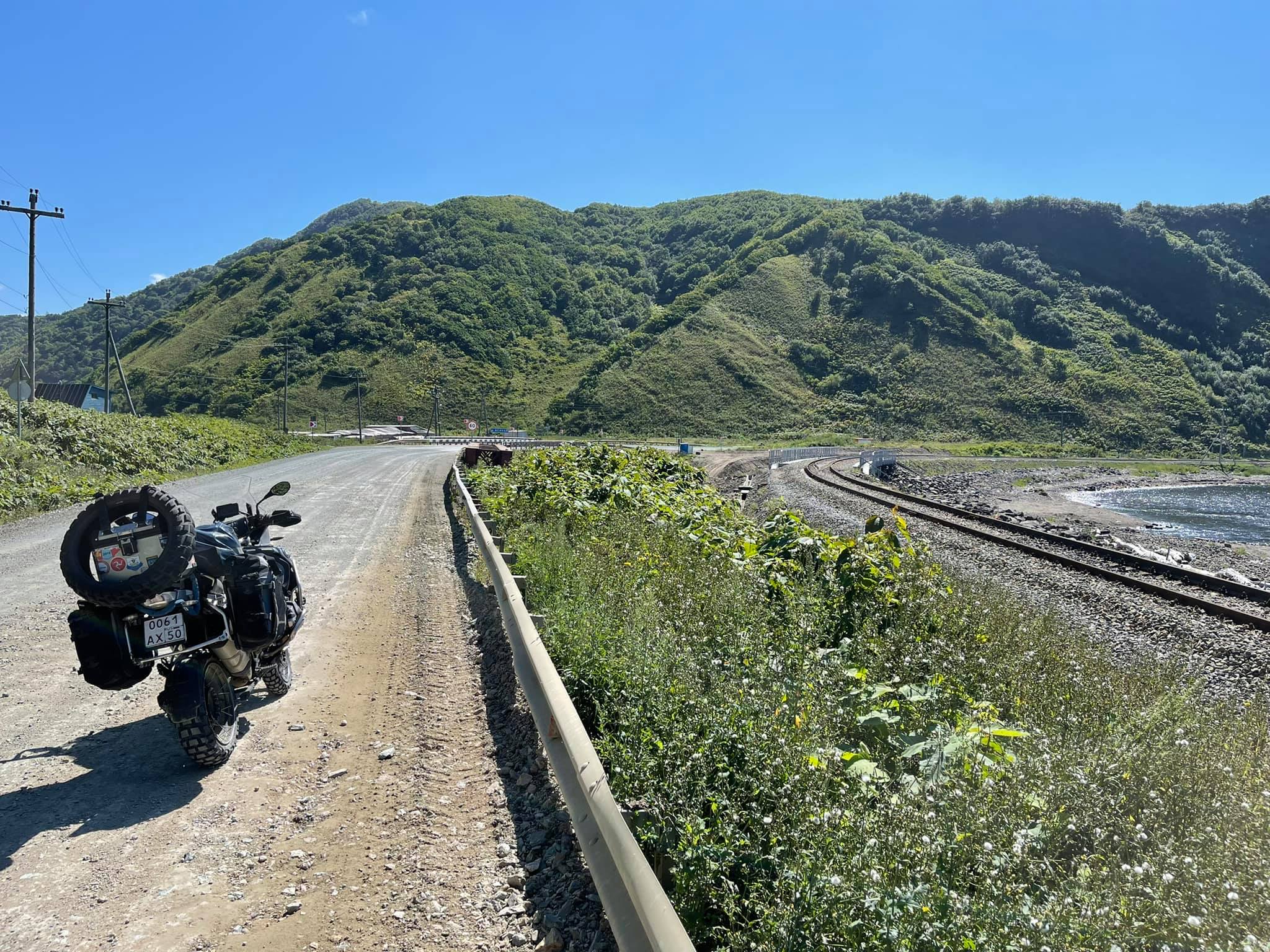
We did not stay in Kholmsk and rode along the western coast of the island in the direction of the city Nevelsk. After a few kilometres the asphalt road ended and a dusty grader one began. The road runs along the shore, separated by a railway track from the sea, and on the left side there is a mountain range covered with woods.
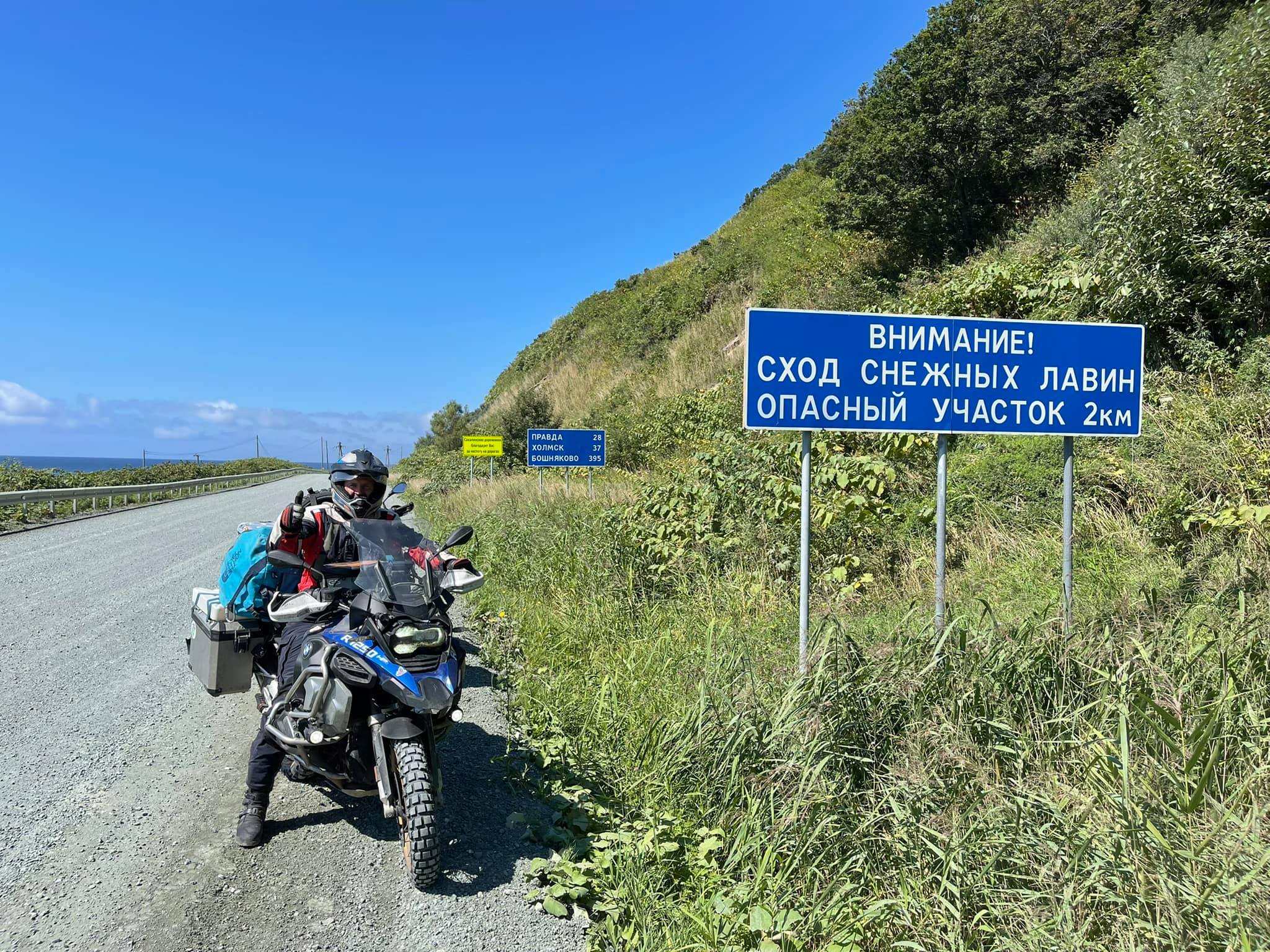
In winter avalanches often descend from the mountains, blocking traffic along the highway.
35 km of grader road from Kholmsk to Nevelsk take no more than half an hour, including the stops for taking a photo.
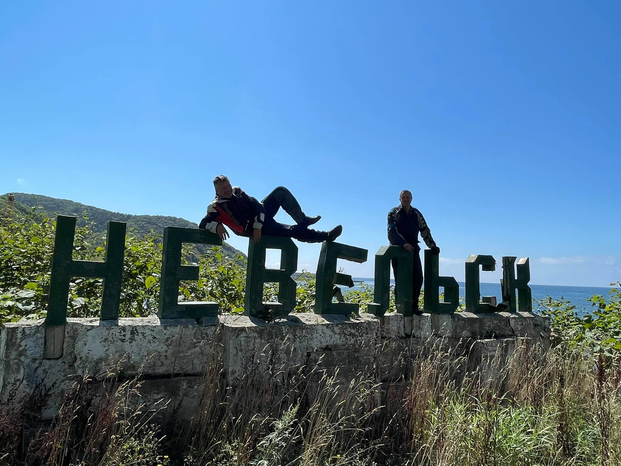
Nevelsk, like Kholmsk, used to be the territory of Japan till 1945 and was called Honto. Before the war, the Japanese had built here a port, a railway, a fish factory and a powerful breakwater going into the sea, which is now favoured by huge sea lions. In spring hundreds of them come here, that's why they have become the landmark of Nevelsk.
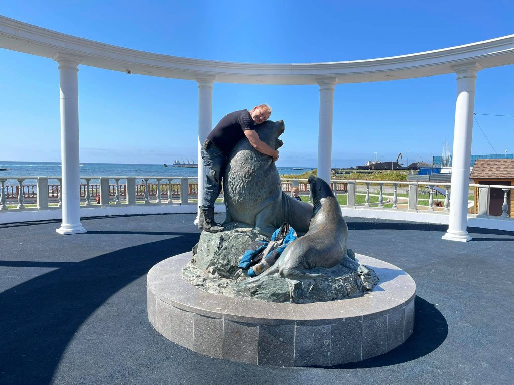
Today we saw just a few of these wonderful animals. You can't get close to them, you can only admire them through the binoculars installed on the embankment.
To be honest, after scuba diving in Kamchatka, when a flock of young sea lions had surrounded us underwater, playing and biting on our fins and heads, the current sight did not make much impression.
There is a beautiful paved road, only 90 km long, from Nevelsk to Yuzhno-Sakhalinsk through the pass. Nevertheless, we found an even shorter road, which turned out to be not so smooth but much more picturesque! ;)
Aniva Lighthouse
A motorbike trip to Sakhalin. Aniva Lighthouse.
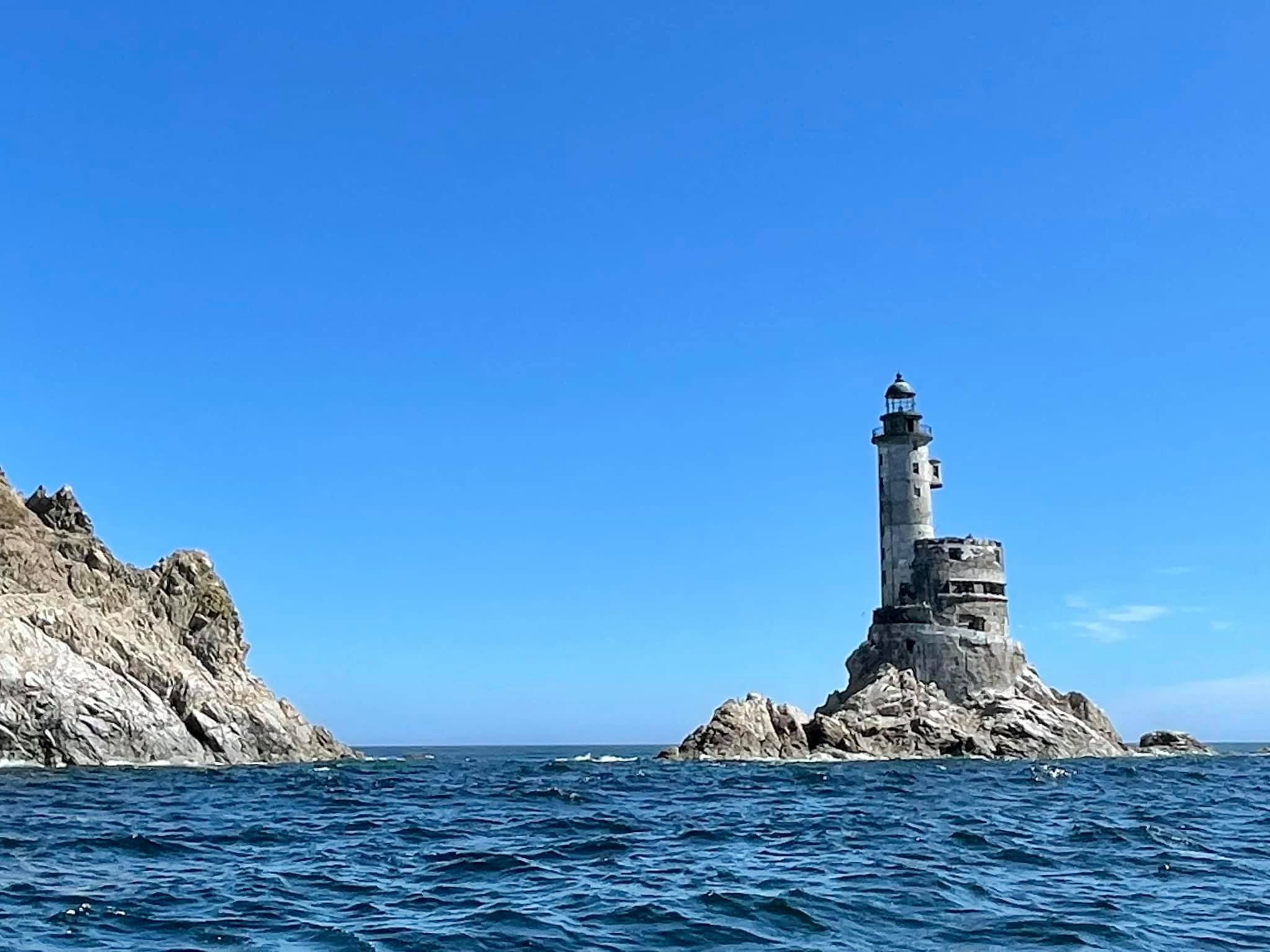
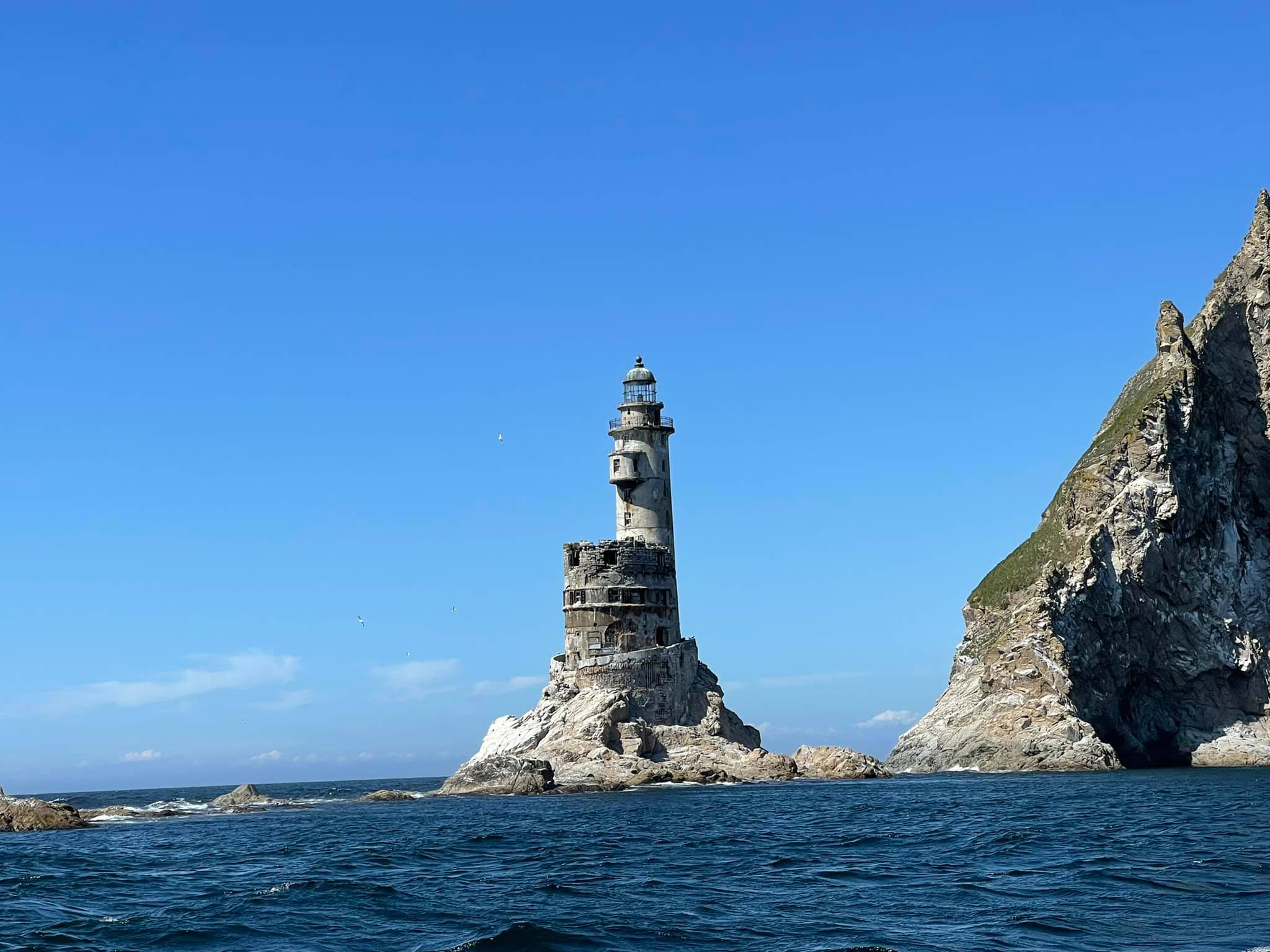
I have visited a few dozen lighthouses in different countries in my life, but since yesterday the lighthouse at the edge point of Sakhalin Island, Cape Aniva, has taken the first place in my personal rating of the most beautiful structures of this type. (46.018784, 143.41413)
It is not easy to get to it. There are no roads or even trails to it. The only way is 42 km by sea if the weather would be fine.
We went along the west coast from Yuzhno-Sakhalinsk to Novikovo village (46.364639, 143.365775), where we negotiated with the local guys to go with them to the lighthouse by motor boat. Not for free, actually.
An hour and a half of going through the waves (the sea grew rough at lunchtime) and, finally, passing another protrusion of the coastline, we saw the legendary lighthouse!
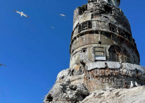
When you come close, you can notice that the lighthouse is gradually being destroyed by strong winds and storms.
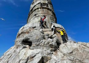
That's an incredibly beautiful sight! A small rock is separated from the cape by a narrow strait, from which an unusually charming and well-balanced 31-metre tower of the Aniva Lighthouse rises up like a medieval castle.
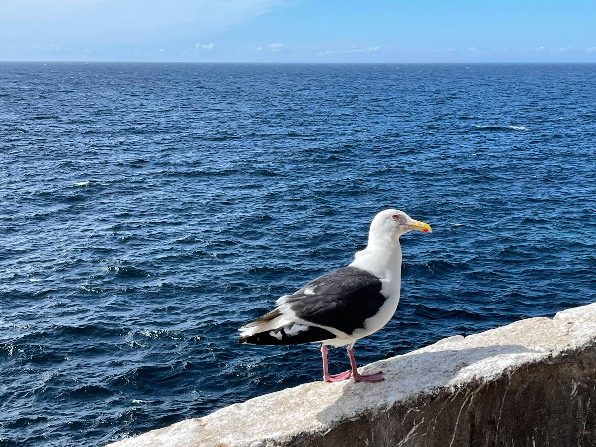
We slowly walked around it, took some photos and then our rubber vessel stuck to the rocky bottom of the Sivuchya rock. Seagulls were flying around, forming circles. There were a lot of them, and on the very edge of the cliff a small sea lion was lying and looking at us in surprise. Climbing over slippery rocks, we finally reached the entrance to the structure.
The lighthouse inside is a 9-storey cylindrical tower with a spiral staircase leading to the very top, where the rotation mechanism and the lamp with deflectors are located.
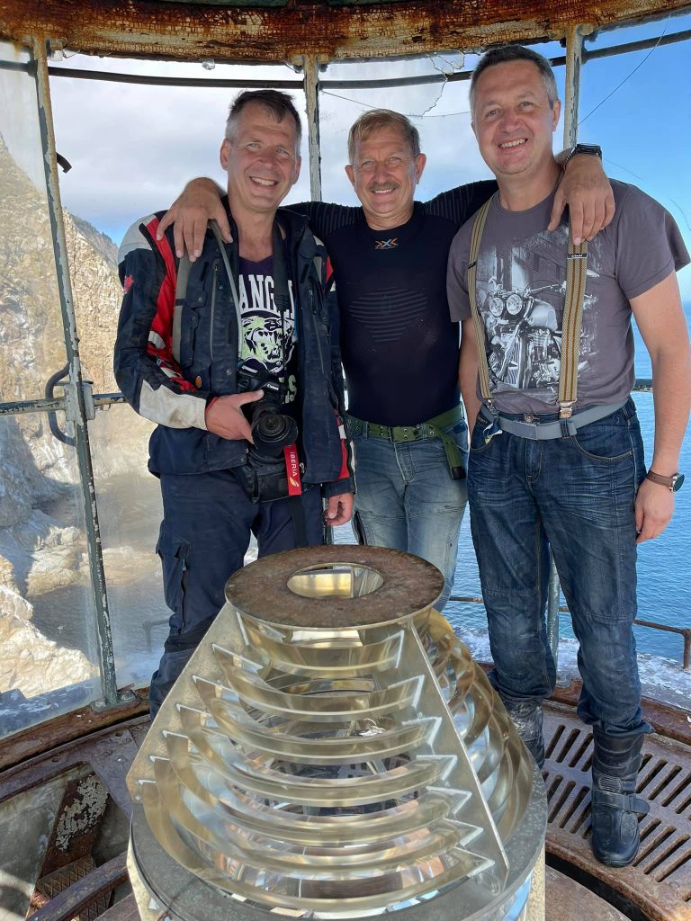
The lighthouse was built in 1939 by the Japanese and had been working until 2006. That's a pity, but after it was put out of action some local looters took out everything valuable.
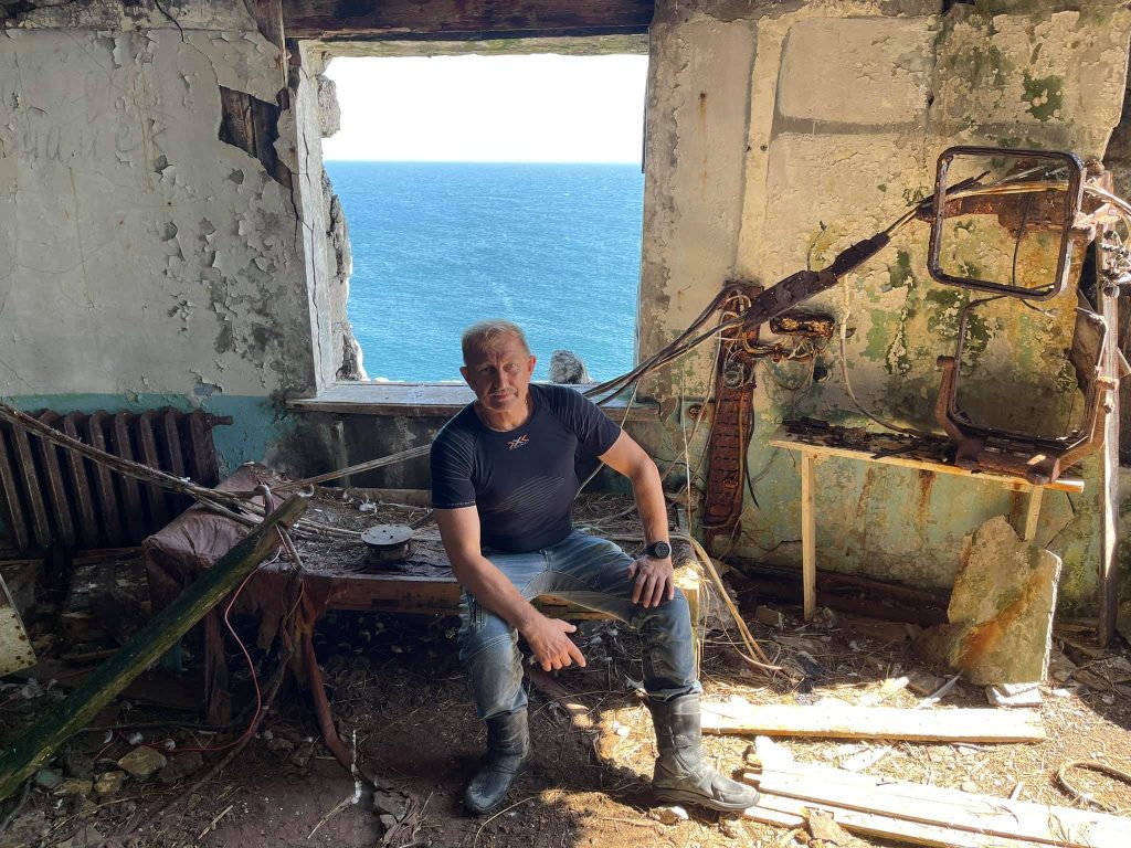
It is very sad to see how a unique structure, which certainly has got historical value, is gradually being destroyed.
Today the Aniva Lighthouse has become an iconic landmark of Sakhalin as a Swallow's Nest for the Crimea. And, of course, it had better be preserved and put in order.
Devil's Bridge
A Motorbike trip to Sakhalin, Devil's bridge.
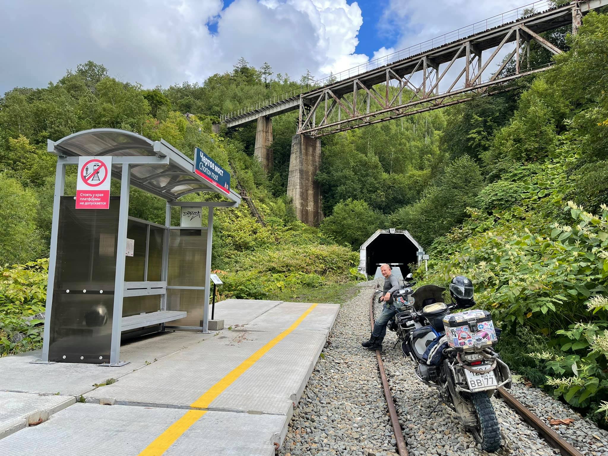
There is an enchanting and unusual place in an 11 km distance from the city of Kholmsk (47.052992, 142.045669). These are the two railway bridges built by the Japanese almost 100 years ago, which have long been a part of the railway between the various areas of the island.
The easiest way to get to the Devil's Bridge is along the railway. But there is a chance to face the train.
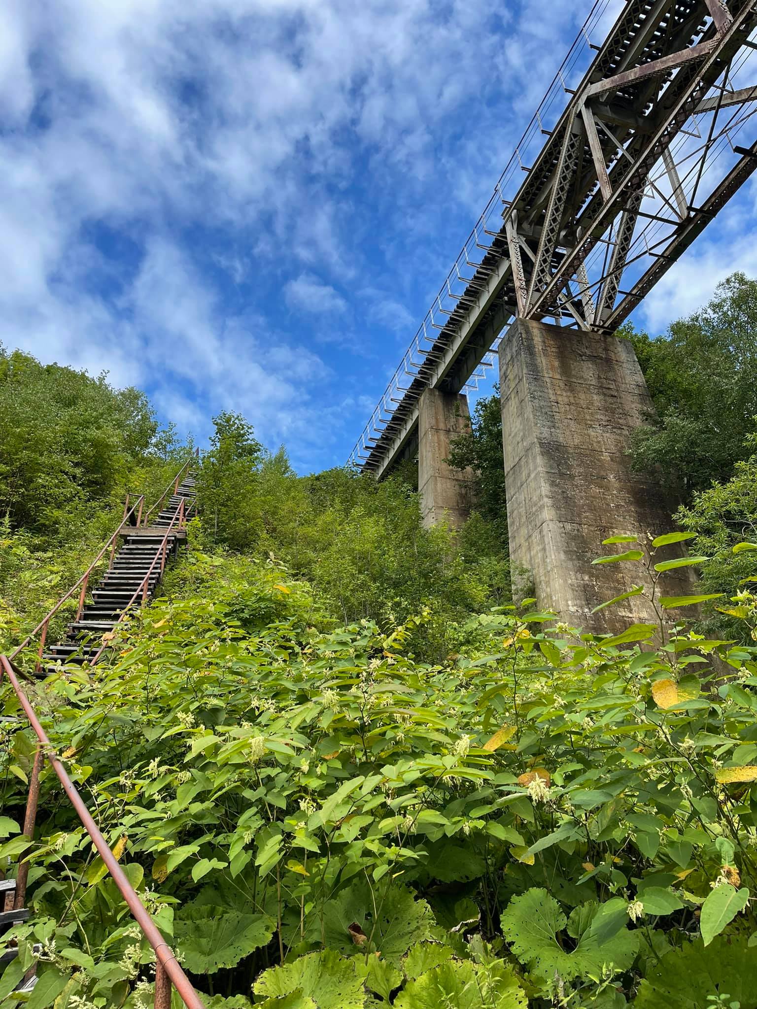
The Devil's Bridge is more than 38 metres high, 125 metres long, 8 m 90 sm wide. The length of the tunnel, which originates from under the Devil's Bridge, is 870 metres, the width is 6 m 5 sm, the height of the tunnel is 5 m 50 sm.
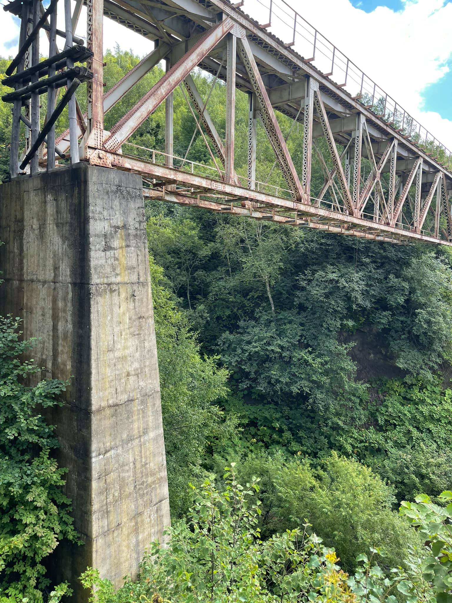
The bridges are interesting not only because of their names Devil and Witch, but also because of their design. Huge iron spans are fixed on the concrete supports up to 50 metres high and dragged over the gorges. Rails are going into long black tunnels and the trees grow through the rotten sleepers. All this makes a strong impression!
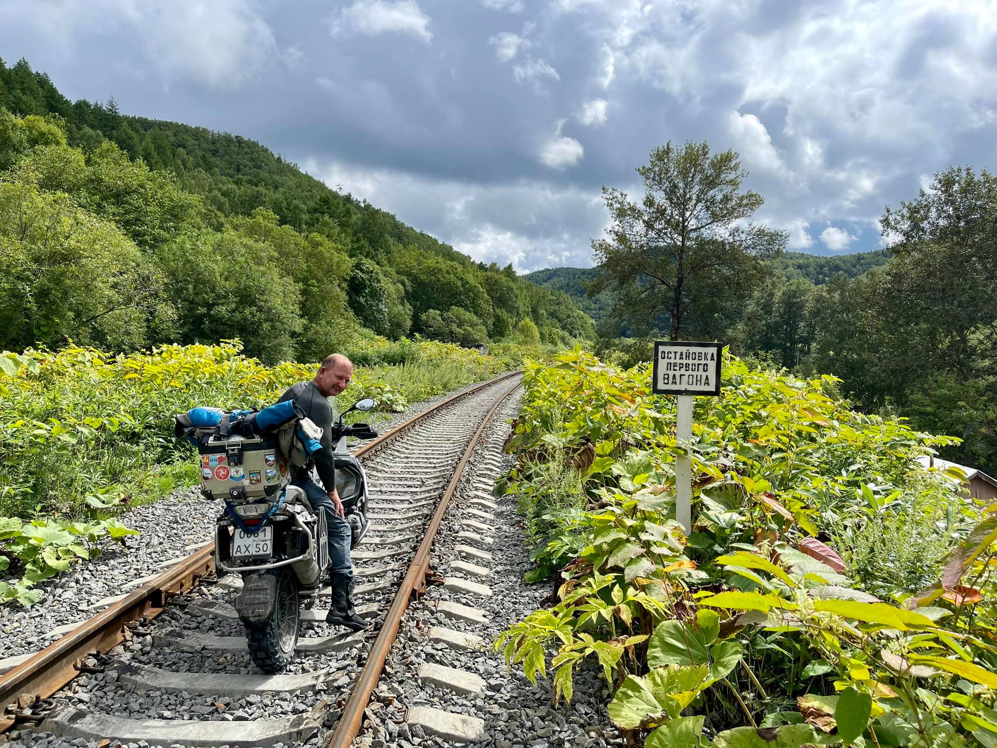
Getting to the Devil's Bridge is not difficult. Just drive along a ground road from Kholmsk to the Nikolaichuk railway platform (47.003072, 142.089054). Then, if you go by motorbike, it will be better after the crossroad to move onto the railway track and, following the rails, get to the Devil's Bridge. (46.987218, 142.117268).
It is about a 3 km distance. The main thing is to avoid meeting a train that runs several times a day. We missed him in just 10 minutes. If we hadn't been in time then we would have had big problems, since it is impossible to jump over the rails by a heavy BMW motorbike.
So if you do not like taking risks, it will be better to drive a little more along a ground road and then walk ahead.
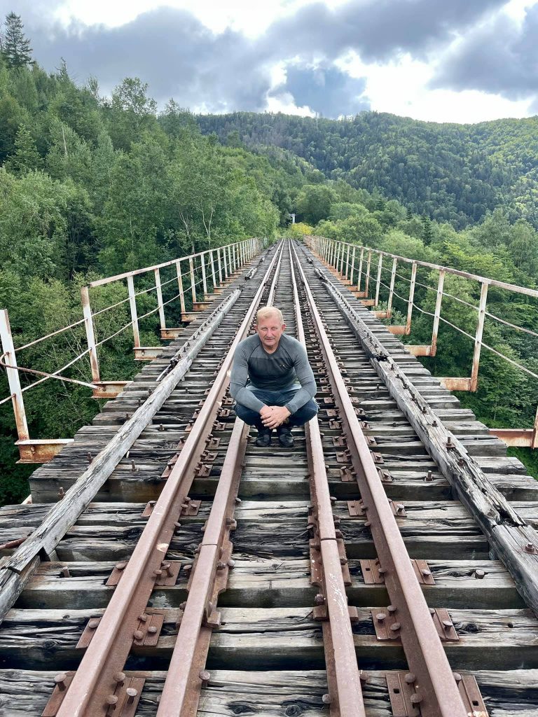
Not far from Devil's Bridge you can climb up on a steep slope, then go left along the rail for a couple of kilometers and you will run into the Witch Bridge (46.979895, 142.131318).
As this bridge is in a very bad state, it is dangerous to walk along it. Between the bridges you will have to overcome a long tunnel in complete darkness.
You should have a torch with you. From Devil's Bridge there will also be two tunnels, which have 270-degree turns inside the rock along the way.
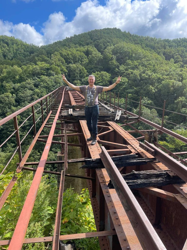
Witch Bridge. Its height is 50 m and the length is 200 m.
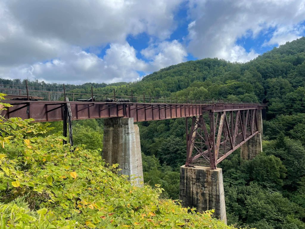
All in all, we walked about 8 km along the sleepers and that was thrilling!
Sakhalin Island
Why do people go to Sakhalin?
It's far, takes a lot of time and costs a lot. Today, at the petrol station a local man, after having found out where we were from, asked us in surprise, "Why are you going here? What could attract you?"
I didn't argue with him because I answered these questions to myself a long time ago, so I just answered him with a smile that Sakhalin was beautiful and its nature was interesting.
And it is really amazing! Firstly, the nature is very diverse. Secondly, the island is washed by two seas and you can overcome the distance between them in an hour or even less.
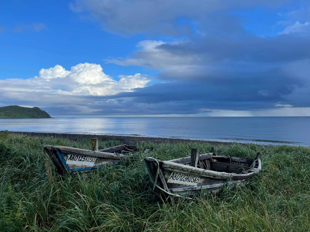
The rain has just ended, the sun has come out and everything around has changed its look.
The mountains are covered with dense diverse vegetation. There are a lot of coves, sandy beaches and rocky shores along the coast. You can drink the purest water, scooping it up from rivers and lakes by hand.
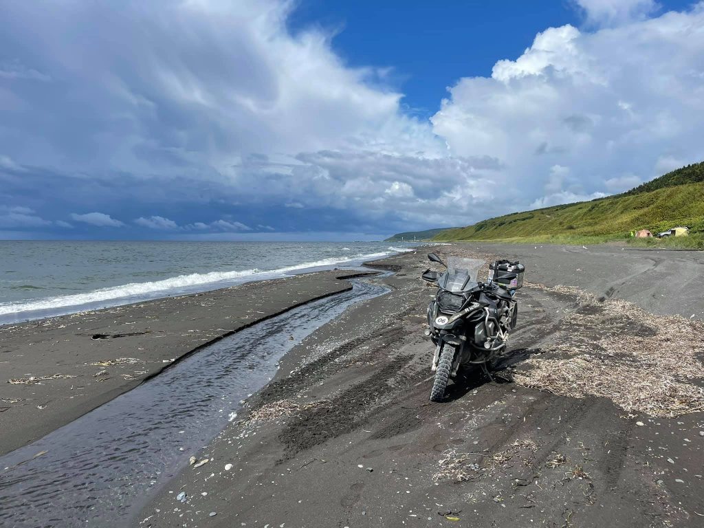
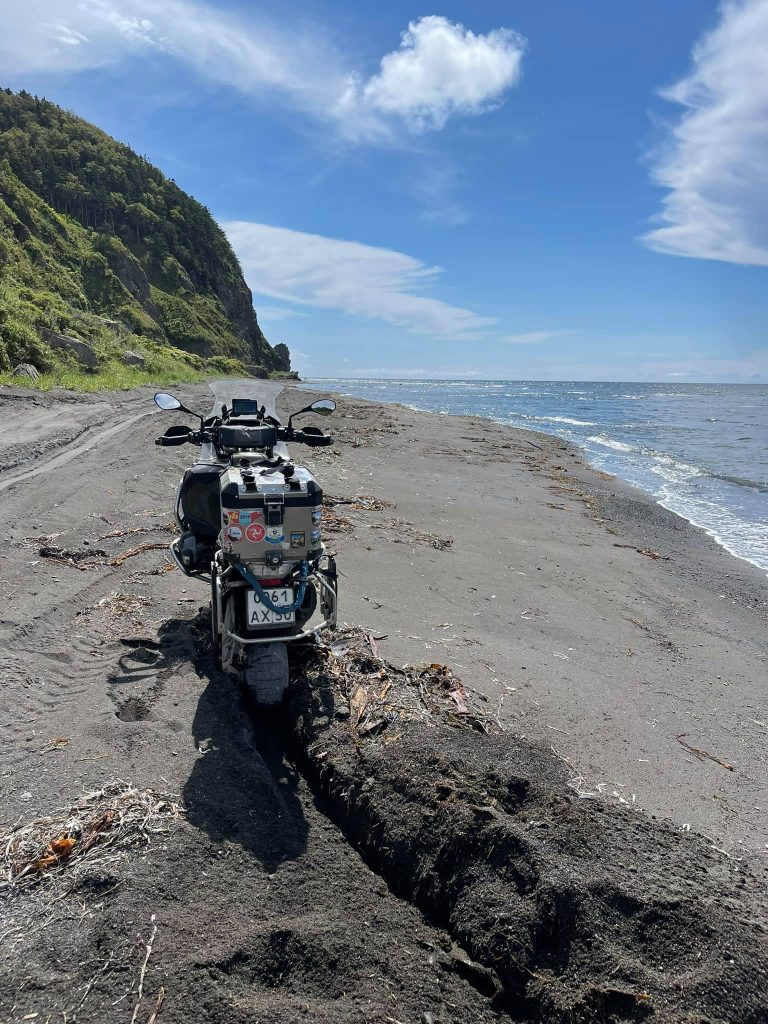
Riding a heavy motorcycle on loose sand is not as easy as it may seem at first glance.
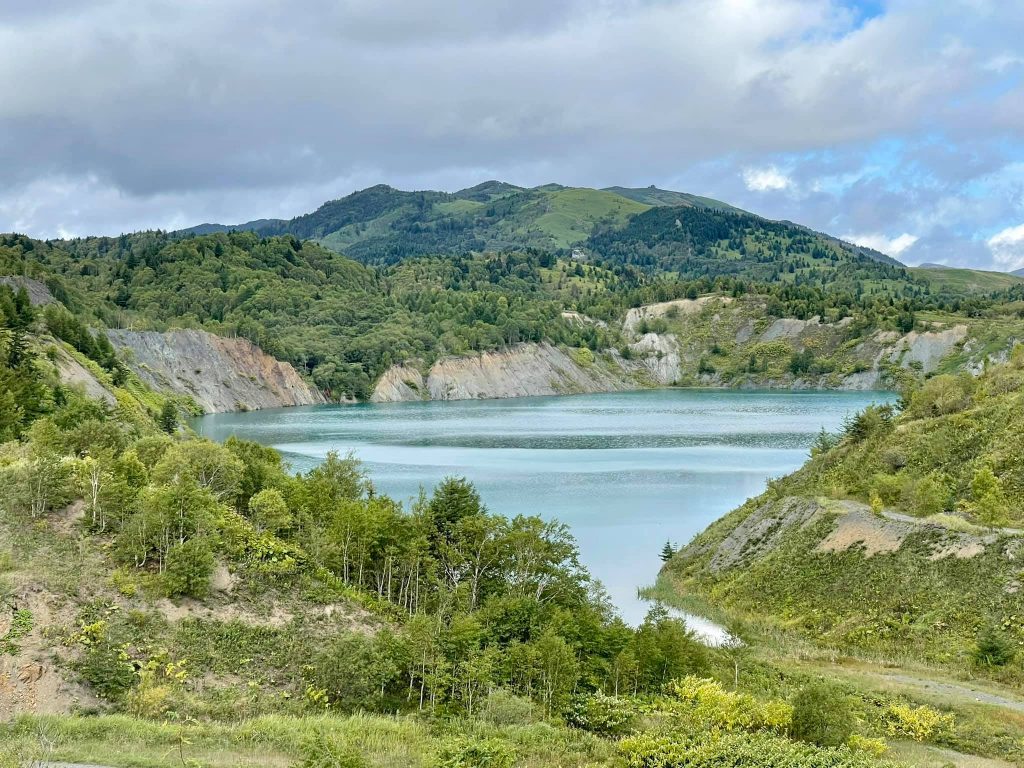
Blue lakes with turquoise water in them at the top of the pass from Novikovo village to the Evstafiy's Cape.
Secondly, there you can meet a lot of different animals. Just a sight of a school of pink salmon walking along small rivers to spawn can make an unforgettable impression on the residents of central Russia. Meeting bears will also be a feast of a lifetime for both sides. But for them it might be in the literal sense of the word. :) :)
And look at the fat sea lions, which are sunbathing on the rocks, patting themselves on the sides with their flippers!
This is a school of pink salmon that goes to spawn.
Today we had the day of acquaintance with the nature of Sakhalin and went to see the places of interest in the southern part of the island.
We visited the Cape of Three Stones, Blue Lakes, the road through the pass and the Evstafiy's Cape. All three days of our journey the weather changed several times. The sunny weather can be suddenly interrupted by a downpour, windy and stormy weather in the sea.
There's a certain beauty in it!
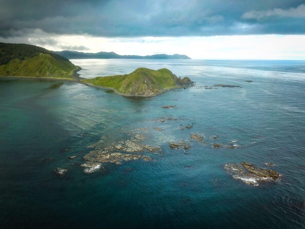
The finish point of our day trip is the Evstafiy's Cape. This picture was taken from Alexander's quadcopter.
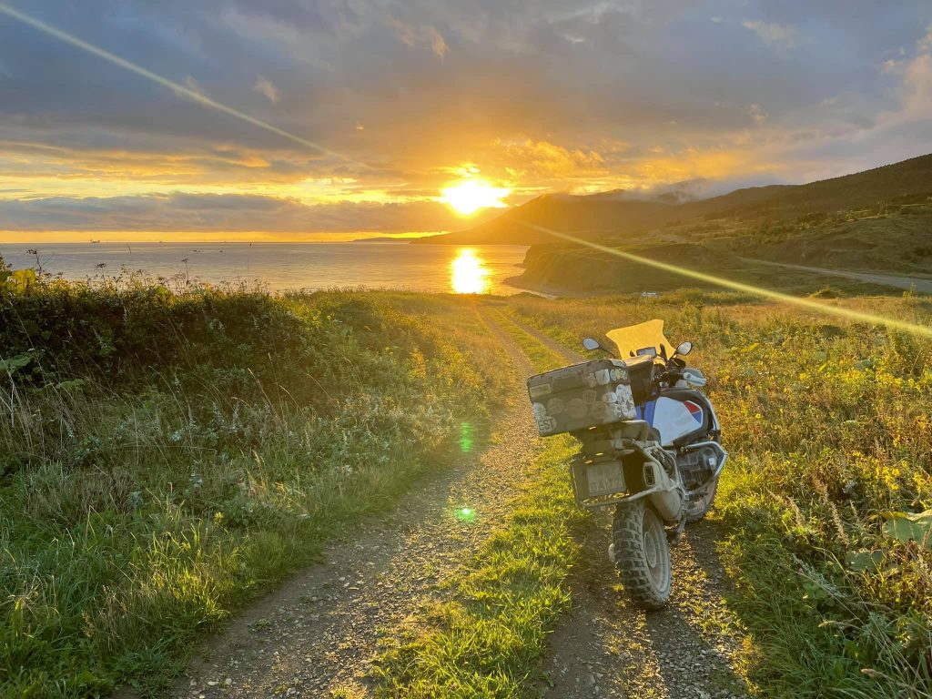
We returned back at sunset.
Sakhalin. The Birds Cape and the Giant Cape
Today I had another amazing day on Sakhalin. And yesterday I left my friends. We rode north together from Yuzhno-Kurilsk along an excellent highway for about two hundred kilometers and visited several capturing places. Then I turned back and the guys went further to the north of the island.
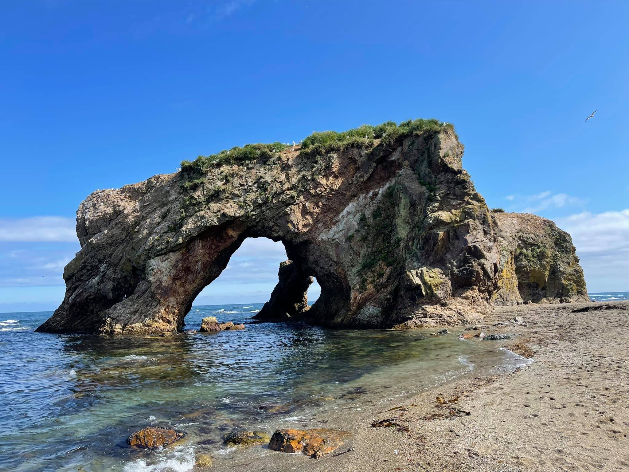
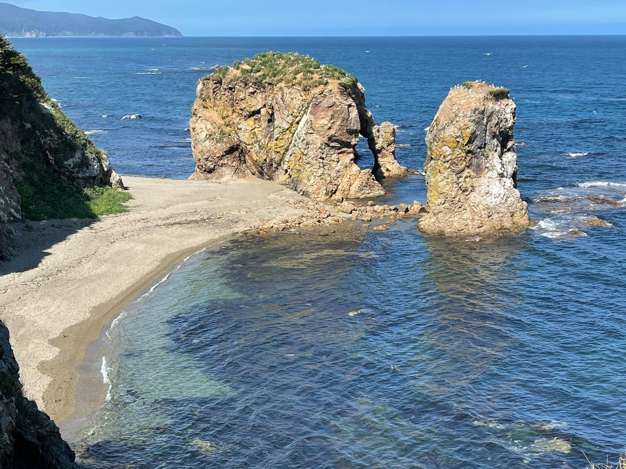
A view of the Birds Cape from the cliff. This rock has got a triple arch inside. That's fantastic!
And since then I was travelling alone and decided to explore the southern part of Sakhalin and its eastern coast. Tomorrow I'm handing over a motorbike to be sent by ferry to Kunashir Island. That will be the beginning of the second step of my trip to the Kurile Islands.
But this all will be later and today I experienced 240 km of adventure! Half of the distance I rode along ground roads, walked 19446 steps and overcame 98 conditional floors while climbing steep cliffs! :)
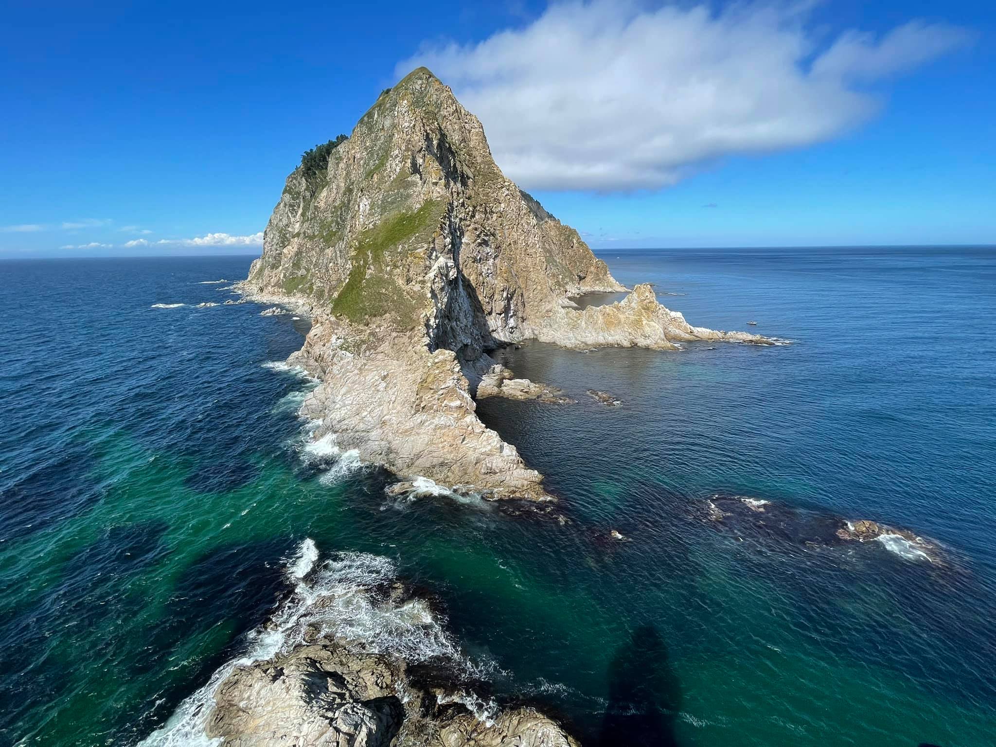
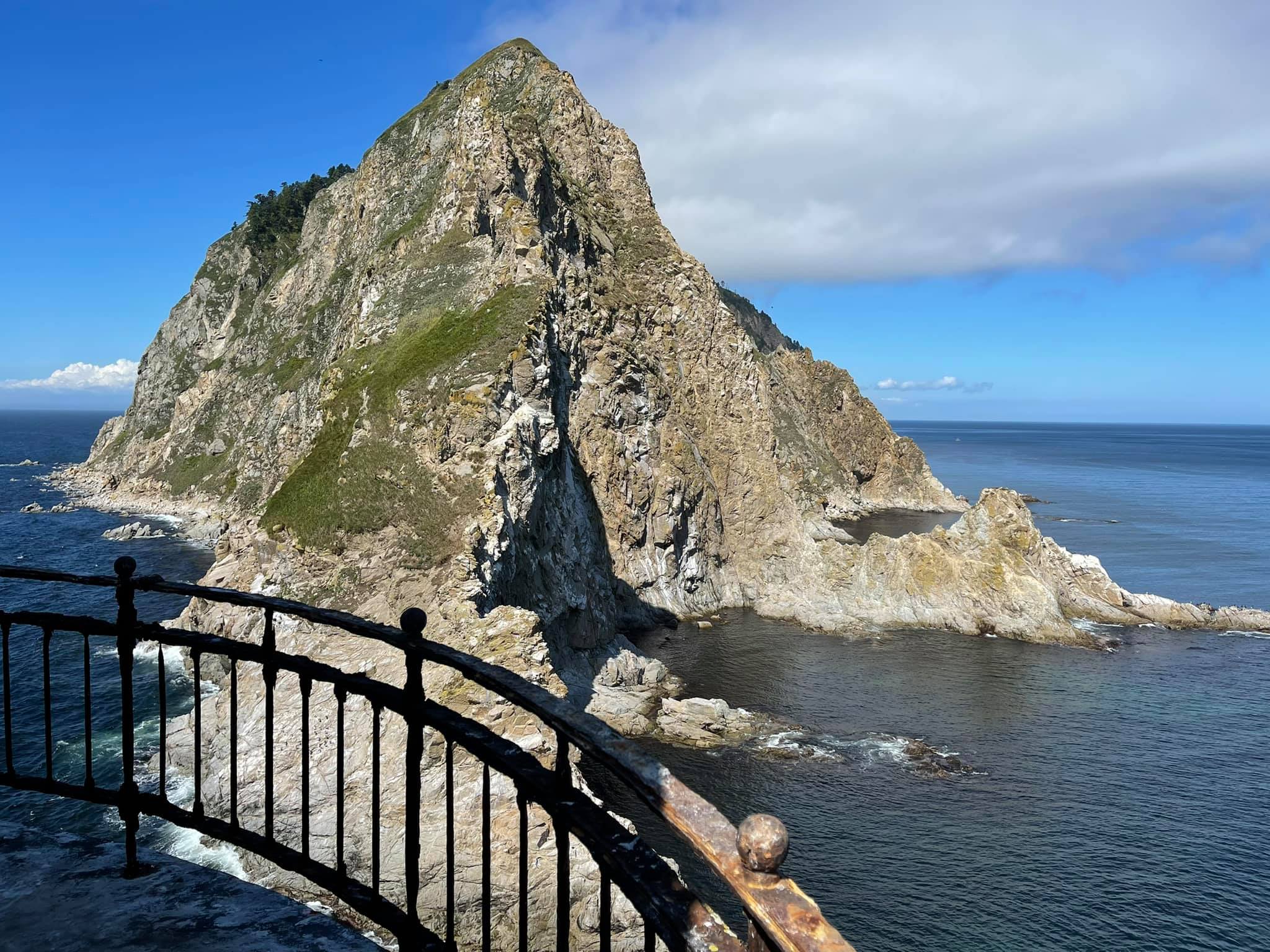
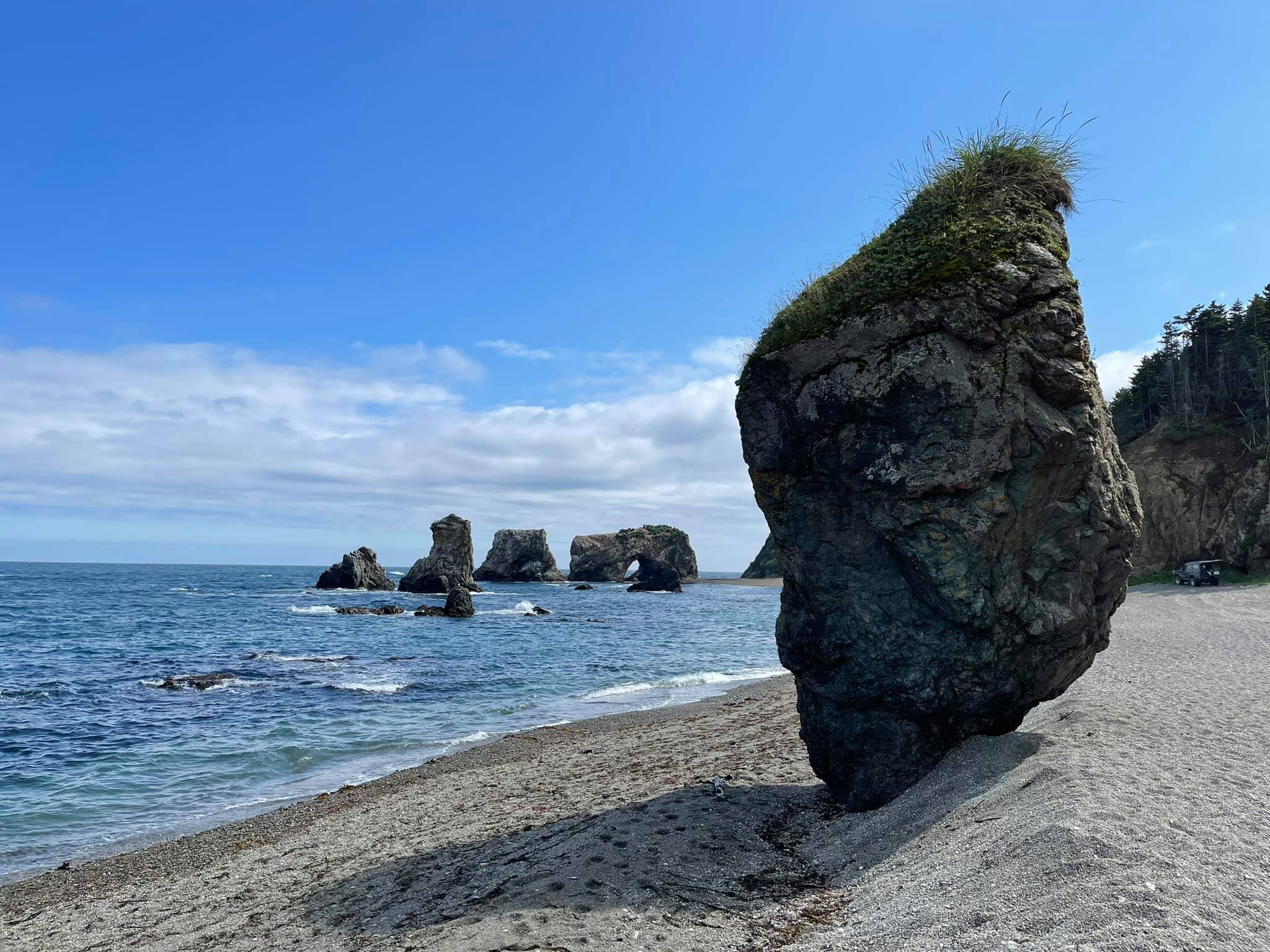
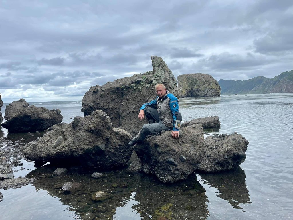
I had reached the Birds Cape and the Giant Cape by noon. These are one of the most beautiful places on Sakhalin, in my opinion.
Here you can see huge rocks of an unusual shape with arched passages, giant stones that are nested by hundreds of gulls, sandy coves and a fabulous forest. And all of this is concentrated in one place on the eastern coast of the Sea of Okhotsk. (46.635022, 143.515914).
The route to the Giant Cape.
The road goes through Okhotskoye village (46.851778, 143.169481) and further along the edge of the sea by the picturesque beaches.
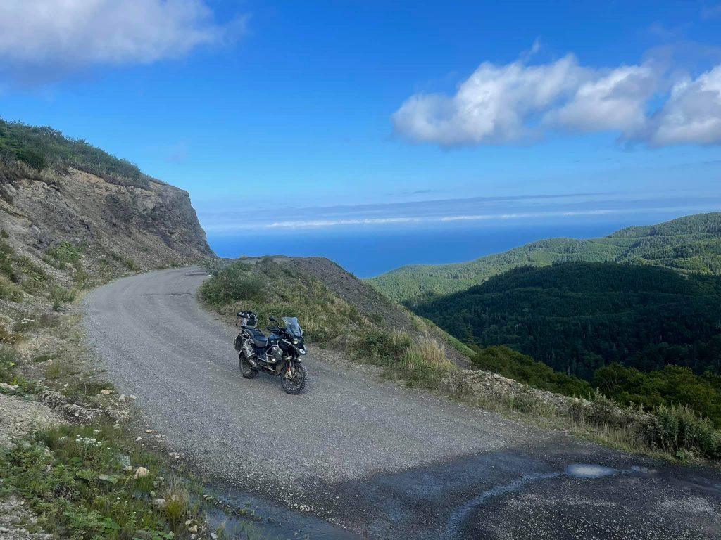
At Svobodnaya village (46.801177, 143.421093) the asphalt road ended and the ground road led me deep into the forest. But don't be afraid of getting lost! There are a lot of the pointers to the Giant Cape at the crossroads. But you won't be able to go fast. Large pits turned into huge puddles after yesterday's rain and it was not always possible to go around them, so it took me about an hour to go the latest 30 km off-road.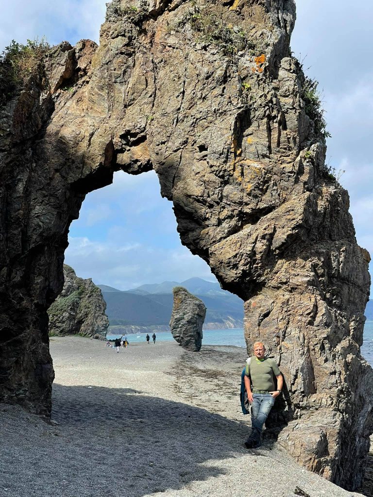
The Giant Cape is included in almost all travel tours and people are brought here by jeeps and minibusses. A walk here can take an hour or two. Or even more if you like to meditate sitting at the edge of a high cliff with your eyes closed, listening to the sound of the sea and the cries of seagulls, for example.
Then you will be turned back the same way. However, there is also a more interesting route. You can go further south along the coast and then cross the pass along the bad road to the opposite shore of the Sea of Japan and to the oyster lake Busse. (46.529693, 143.377783)
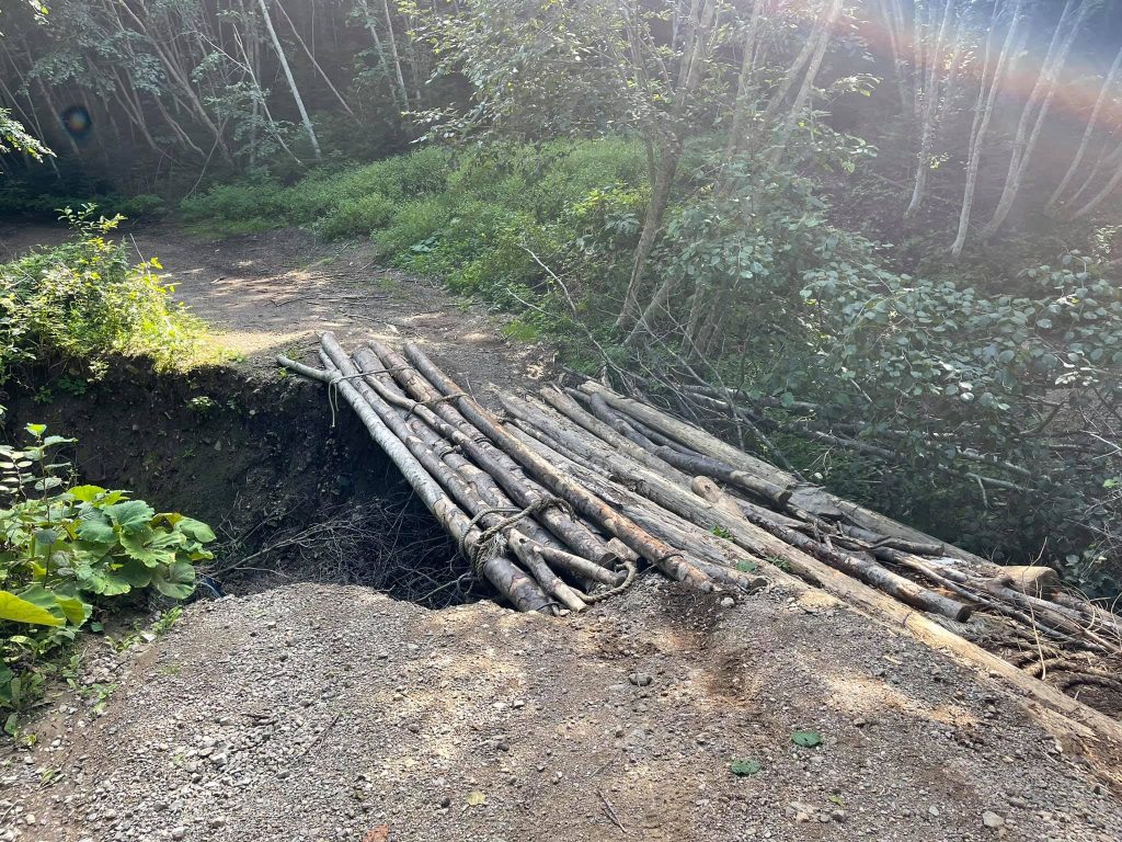
Frankly speaking, it took me some time to repair the bridge, kinda like to make a floor of the logs and sticks over a huge washout. Well, for almost an hour I had to pull my motorbike out of the steep slope. My journey could hardly go on after this dangerous experience. But this time I was lucky!
One more attraction of Sakhalin is the Pugachev's mud volcano. (48.22907, 142.565865)
Yuzhno-Sakhalinsk
This morning I handed my motorbike over to a transport company in Korsakov, which will pack it in a crate and load it onto the Admiral Nevelsky ferry. It cost 10.000 roubles. And tomorrow on the same ferry I will go for another sea trip of half a thousand kilometers long to the Kunashir island.
As I have become a pedestrian for a while, I decided to take a walk around Yuzhno-Sakhalinsk, where we had been living for almost a week, but never got to know it closely.
And it turned out to be unexpectedly fascinating!
What you notice immediately is that it's well-maintained and clean, especially its central streets. The city is full of flowers and greenery, the sidewalks are tiled, the transparent bus stops shine like the storefronts of luxury boutiques and no there's no advertising leaflets and graffiti! Fountains, monuments and genre sculpture compositions fit into the appearance of the city perfectly.
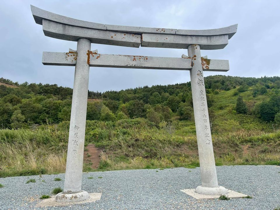
This is the torii gate of Higashi Shiraura Jinja Temple. Yeah, quite a difficult name. This gate was built on the edge of a Japanese village in 1940. (47.856675, 142.525535)
There are several museums in the city, and I went to two of them. The Local History Museum and the Museum of Chekhov. I liked them both very much. The exhibitions are beautifully decorated! I recommend everyone who will visit Yuzhno-Sakhalinsk to plan some time especially for the Local History Museum. You will not regret it!
I went to have a cup of coffee with cookies in small cozy cafes a couple of times.
The coffee is excellent, the bakery products are various and very tasty.
Speaking to the locals, I realised that they love their city and it can be seen with the naked eye. Personally, I am of the same opinion about Yuzhno-Sakhalinsk.
A very brief history of Sakhalin.
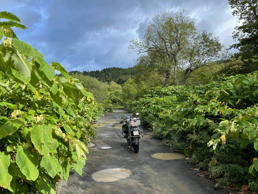
Sakhalin roads.
So, here's some historical information. Until the 17th century only the local aborigines had been living on Sakhalin. They were the small tribes of Ainu, Nivkh, Wilt and other Evenks. They had been living in yurts, fishing, hunting, sewing clothes from fish and dog skins and considered the bear to be a deity. That's what their primitive lifestyle was like.
In the late 18th – early 19th century, the Russian expeditions headed by Kruzenshtern, Nevelsko, Golovnin explored the island, described it and Sakhalin became a part of the Russian Empire. Long ago its remote area was as difficult to get at as Chukotka and Alaska. And, of course, the development of its territory was even a more difficult task. That's why there were not many willing people to move to it as a permanent residence and then the effective method of colonization was chosen. The prisoners were exiled there.
Do you remember how Great Britain colonized Australia, taking the criminals there? Sakhalin was developed the same way. In the 19th century it became a place of exile and community service. This epoch was described in detail by Anton Pavlovich Chekhov in his book about Sakhalin. For some unknown reason the writer decided to take a three month long trip together with the expedition in 1895.
In 1905 after the defeat in the war Russia ceded the southern half of the island and the Kurile Islands to Japan, which began to develop it enthusiastically, not without forcing the prisoners as well (thousands of the captured Koreans were brought to Sakhalin). Japan did not yet assume that in 1945 it would have to return the territory back, so for 40 years it invested huge funds in the foundation of settlements, railways and highways, ports, factories and other infrastructure constructions. The residents of Sakhalin must have thanked them for that contribution.
After 1945 the Japanese left the island and the Koreans stayed. The Soviet Union, unlike Japan, had enough problems to solve after the end of the Great Patriotic War, so Sakhalin was paid little attention to. The further development of the island ran a little slower than, for example, the neighbour Japanese island Hokkaido developed.
If we had given the Japanese another forty years to develop the island and then taken this part of Sakhalin and the Kurile islands, now I would have been moved across the island not along the ground roads, but along highways and multi-level illuminated overpasses and below them the captured Shinkansen trains would speed at 300 km/h. But in this case I have doubts that they would want to give it all to Russia. And that's a pity.
And what is the situation like nowadays?
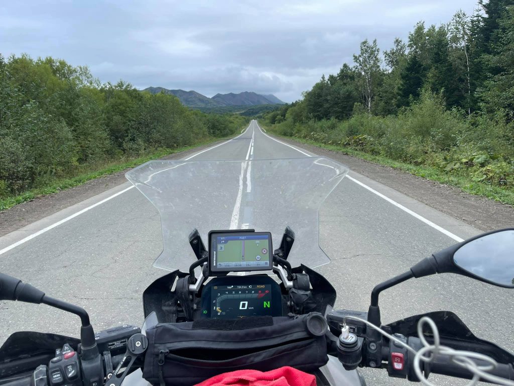
Personally, I liked all the roads of Sakhalin. And especially those that cannot be described as good roads by an average resident of Japan or Germany. But this is my humble opinion. I think the rest 99.9% of the inhabitants of our planet wouldn't share it, since it is more convenient to drive along highways than through puddles and ruts.
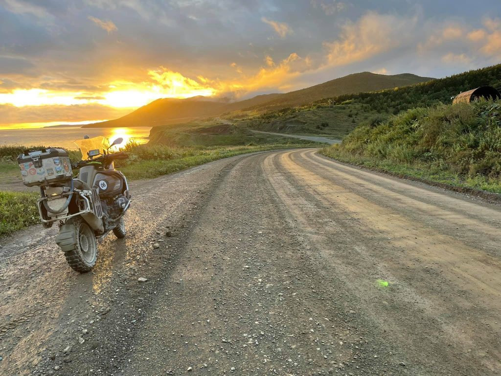
But speaking seriously, the main highways, which connect large settlements such as Yuzhno-Sakhalinsk, Kholmsk, Nevelsk, Korsakov and others are of fairly good quality (wonderful asphalt, clear marking line). And there are not so many cameras yet, so you can drive at high speed.
The second common type of road is a grader. It was paved in a 40 km section from Kholmsk to Nevelsk and in the southern direction from the LNG terminal (46.625778, 142.93056) to Novikovo village, etc.
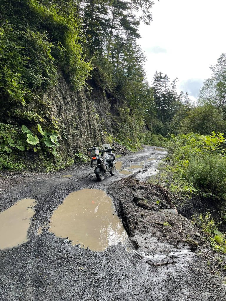
The grader is of excellent quality and you can drive along it at the same speed as along asphalt roads. However, in dry weather the dust rises to the sky after a passing car. One day Alexander and I decided to compare our motorbikeys (and courage) and rode 30 kilometers along the grader at a speed of 140-150 km/h. It's fine if you keep up with each other and go nearby.
We rode several hundred kilometers along these roads, getting to all the beautiful places of the island.
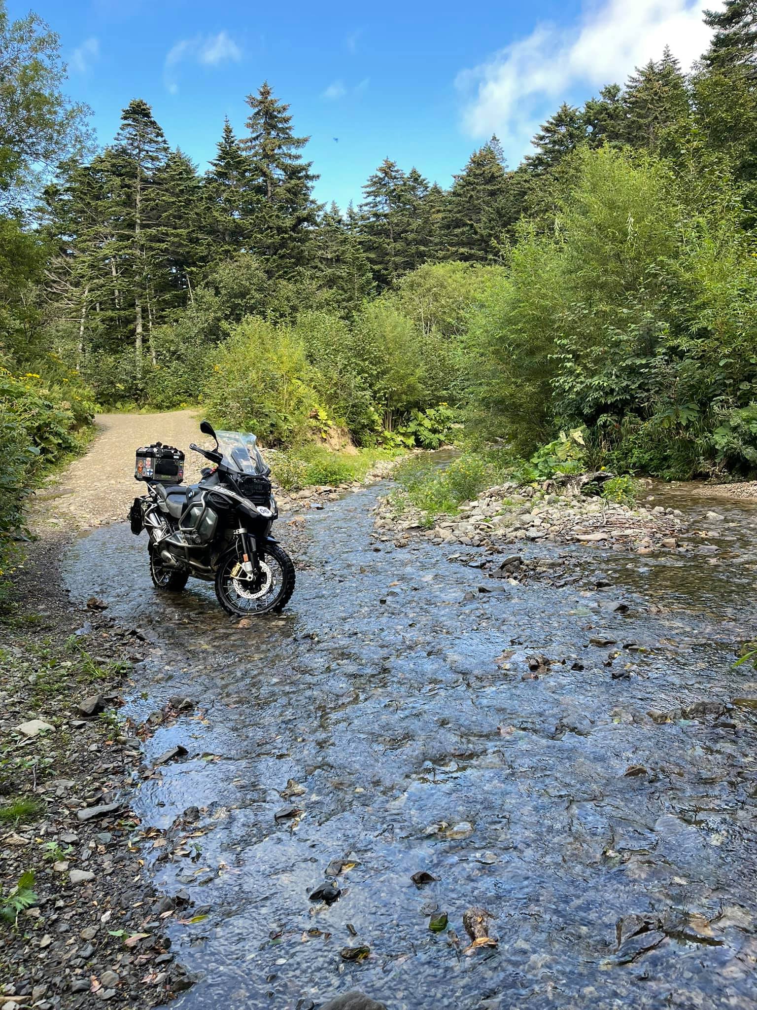
The third type of roads are unpaved, the ground ones, which are practically not repaired. You would move along them if you wanted to see any nature attractions or remote small settlements. It's better to go by Jeep or by four-wheel cars like the Japanese Mitsubishi Delica.
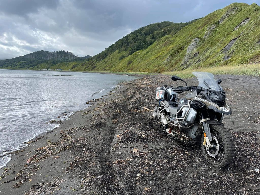
Well, last, there are directions, which don't have any roads at all. For example, you can move along sandy beaches by the sea edge. But how far you will go depends on the technical characteristics, your driver experience and your mental clarity.
We managed to go far away! :)
 Cap-travel.ru